Filltir Sgwâr/The Square Mile: Signs of the Past
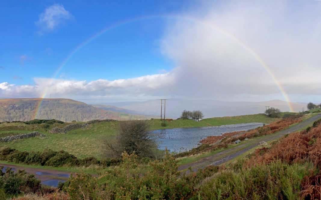
In a year long series Tom Maloney, from Abersychan, shows how you can love a place so well it becomes a part of you.
‘In like a lion, out like a lamb’ goes the old saying for March. Well … what to say for the month of November this year? It has had plenty of the lion about it that is for sure: heavy snow, roaring winds and persistent, torrential rain brought by Storm Bert.
Thankfully the weather appears to be much calmer again and has something of the lamb about it now, but I guess it’s best not to say too much about that.
Benign
Bert sounds like such a benign name, but all over the valleys and especially for Pontypridd this extreme storm brought severe flooding, immense disruption and heartbreak for many people.
Even in Abersychan, the effects of the storm were played out with the Cwmsychan Brook bursting onto the main bus route. I have lived in the village for the best part of twenty years in two stints and I have never seen anything like it before.
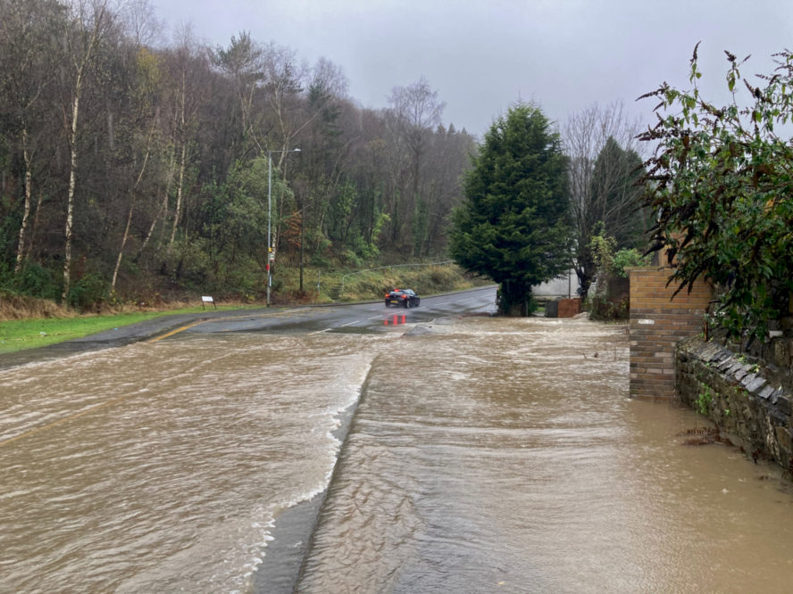
I took the opportunity of a brief lull in the weather on Sunday morning to walk at Gardddyrys and Pwll-du, both significant places within the Blaenafon World Heritage Site and both places where water was once harnessed in the form of man-made reservoirs for industrial use.As historical sites go, the site of Garnddyrys Forge is a firm favorite for me. It has immense panoramic views and I greatly enjoy walking amongst the relics of its unlikely past when you see it today.
Most of all it is a place that makes you think about how have used the environment and poses questions about how we should harness the land in the future.
The site of the pond that was created for the forge barely resembles anything industrial now and for many, many years I thought of it as just a picturesque sheep enclosure. After periods of heavy rainfall, it begins to take on the appearance of a pond again, but I have found that this is not entirely predictable, the level of the water table must have a part to play.
I am not sure what I was expecting to see that morning really, perhaps the beginning of buildup of water, but at 9:00am it was as full as I have ever seen it, perhaps even more so.
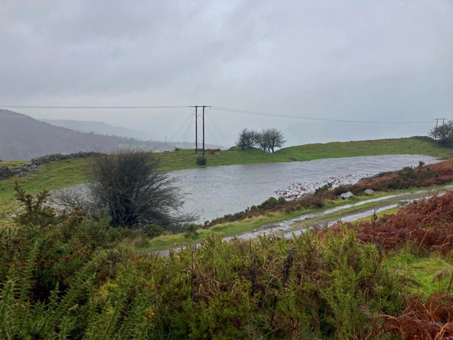
Seeing how much water had already filled this old reservoir my thoughts turned to the Pwlldu Quarry Balance Pond, which I have only ever seen in water once before as a consequence of ‘Storm Dennis’, another severe weather event named so benignly.
I had a hunch that this too would have come back to life and was not wrong. Even from quite some distance away its rectangular form was clearly visible in the landscape.
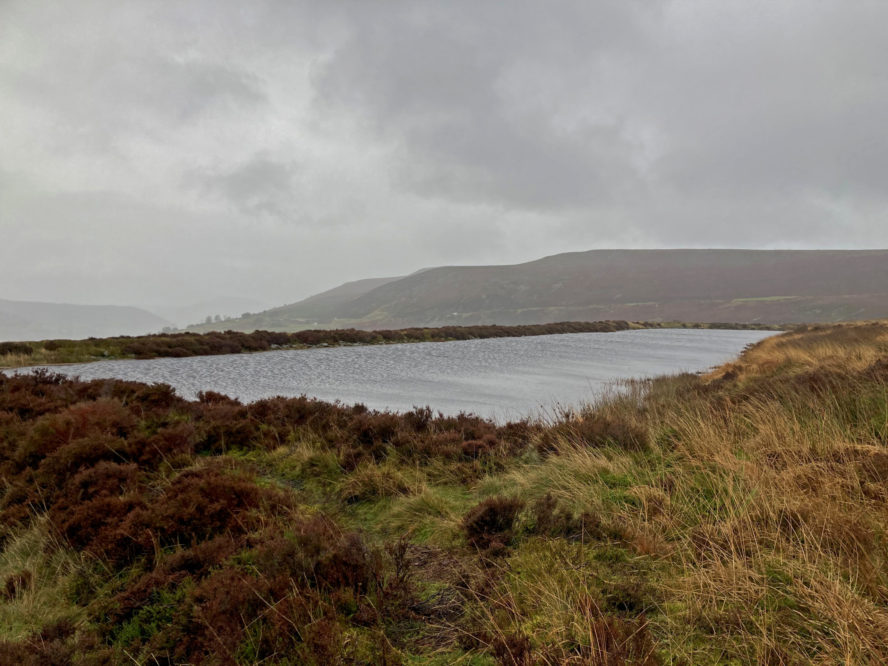
Pwlldu Quarry Water Balance Pond
Glamorgan-Gwent Archaeological Trust gives the following excellent summary of limestone quarrying at Pwlldu:
‘During the 19th century extraction of limestone from the area for the Blaenavon ironworks increased and new quarries were opened at Pwll Du. The limestone quarry at Pwll Du, dating before 1819, is exceptionally well preserved and contains many important features, the most important a water balance lift shaft which raised loaded limestone wagons to the tramroad.
Closely linked to the industrial processes of the area are water management features ie reservoirs, ponds, drains and leats. Reservoirs included Upper Pond and Lower Pond, which were both fed by Forge Pond to serve Garnddyrys Forge. Forge Pond (also known as Pen-ffordd-goch or Keeper’s Pond) is still extant, though the ponds that supplied the water balance lift at Pwll Du quarry are now dry.’*
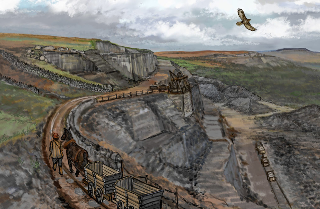
When I first tried looking for the site of the balance pond some years ago, I did not see it at first.
Without water, the outline of the reservoir is surprisingly hard to distinguish from the surrounding landscape, even from a short distance.
In such an undulating, rough and rugged terrain this man-made depression is obscured by numerous tufts of long grasses, moss, rust brown bracken and heathers and it blends well into the skyline.
Perseverance
Over time I have trained my eyes to look for signs of the past and with perseverance it does get easier.
As with the pond at Garnddyrys Forge, on Sunday morning this too was full to the brim. Under a grey, industrial sky the scale of this undertaking was an impressive sight, but I did not stay long to survey it on this day.
It felt like there was still the potential for a lashing downpour to come and for conditions to worsen again. This is a truly impressive landscape, but it needs to be treated with due respect.
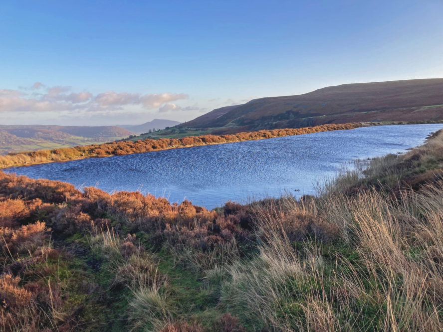
I returned to the Quarry Pond every day over the course of the week to get a better understanding of its place in the landscape.
After such hostile weather on the previous day, the change in visibility on the Monday was unbelievably dramatic. It was still very windy alright, but the sun changed everything.
As if woken from its slumbers, the rippling blue water of the pond was once more a definite feature of the panorama, like it was always meant to be there.
I took the opportunity to pace out the dimensions, which I did twice and the count I came up with was 165 paces long and 28 paces wide. I tried to keep my strides consistent, with each stride being roughly a yard or so, so hopefully this will give you some idea of just how big it is. I would estimate it was three to four feet deep when it was full.
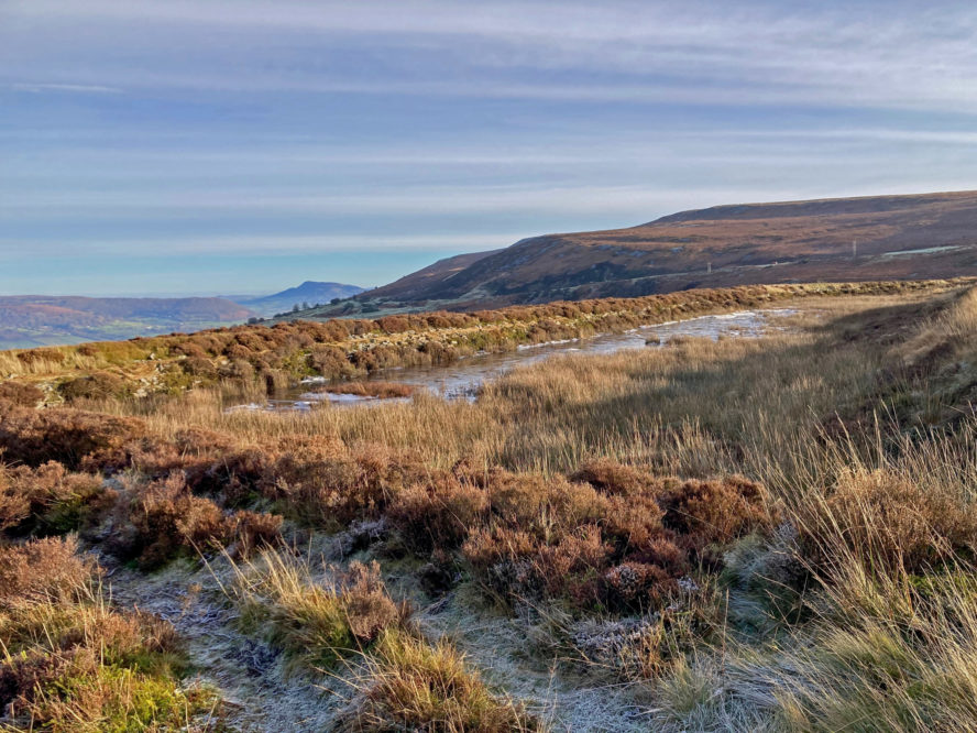
Over the days, little by little, the water level dropped. By Thursday it was almost back to its normal dry state.
Could signs of the past like this have a future use?
Perhaps, because it is at a higher elevation than the pond at Garnddyrys, Pwll Du Quarry Balance Pond does not flood so regularly, it is only visible in the wettest of storms. In my experience of walking this landscape it is a rare phenomenon.
Storm Dennis
I have only ever seen this sign of the past come alive when sadly flooding has affected the South Wales Valleys, as happened during Storm Dennis previously.
Could there be a connection between the two, and could such signs of the past have a future use?
There must be other ponds created during the period of the Industrial Revolution that come alive again in this way dotted across the South Valleys. Perhaps these too, only awaken when the water level is affected by torrential rain.
It would appear from the views of so many scientists that we can expect more extreme weather patterns in the future.
Is technology sufficiently practical and cheap enough to deploy sensors to monitor the level of the water table in sites such as this, which might assist in the accuracy of flood warnings?
Just thoughts really, but could these old industrial places have a use yet beyond their original intention?
Read more about ‘Blaenavon – Glamorgan-Gwent Archaeological Trust’ here.
Support our Nation today
For the price of a cup of coffee a month you can help us create an independent, not-for-profit, national news service for the people of Wales, by the people of Wales.


