Support our Nation today - please donate here
News

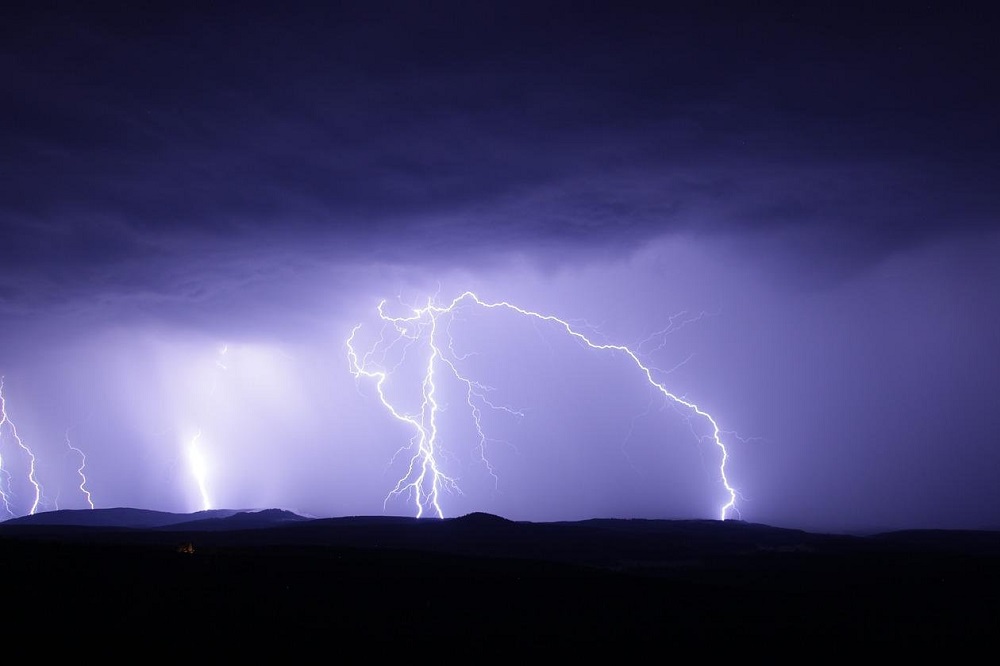
Heavy rain and thunderstorms forecast for parts of Wales on Friday

21 Jul 2022 2 minute read
Image by Oimheidi from Pixabay
The deluge is set to hit on Friday after days of record-breaking temperatures across Wales and much of the UK.The Met Office has placed a yellow weather warning across most of south and mid-west Wales, and areas including Gloucestershire, Wiltshire, Somerset, Devon, Hampshire and Sussex.Slow-moving heavy showers and thunderstorms are predicted between 10am and 10pm.There is 20-25mm of rain expected in less than an hour in some places, with the possibility 40-50mm within two to three hours.

Sudden flooding

People can expect to see spray and sudden flooding which could lead to difficult driving conditions and road closures.

Train and bus services could be delayed or cancelled in places with flooding and lightning strikes.

There is a slight chance of power cuts, and other services to some homes and businesses could be lost, meteorologists said.

Earlier this week Wales recorded its highest ever temperature of 37.1C in Hawarden, North Wales, where the previous record of 35.2C was set in August 1990.


Support our Nation today

For the price of a cup of coffee a month you can help us create an independent, not-for-profit, national news service for the people of Wales, by the people of Wales.

Subscribe
Notify of
guest
0 Comments
Inline Feedbacks
View all comments

Our Supporters

All information provided to Nation.Cymru will be handled sensitively and within the boundaries of the Data Protection Act 2018.