


Ordnance Survey’s official names policy document misspells Yr Wyddfa
Ordnance Survey has misspelled Yr Wyddfa in its official names policy document.
The British mapping agency spells the tallest mountain in Wales, which is known as Snowdon in English, as Yr Wydffa.
The policy document went through five drafts between July 2014 and February 2015, before the first version was published in June 2015.
It was approved for issue by Neil Ackroyd, the Chief Operating Officer and NGD Board Chair.
The misspelling is in the section under the heading of Definitions, which explains the agency’s policy with regards to places with more than one proper name in different languages.
Under the heading of Introduction, Ordnance Survey says its names are “recognised as being the authoritative geographical names of Great Britain.”
In the Proper names section it states that “consistent usage” of the names is “important to allow unambiguous identification of places and avoid confusion”.
In the Definitions section, the official Ordnance Survey names policy states: “Proper name – A proper name is that given to a feature, building or place to distinguish it from other features or places of a similar nature.
“Descriptive text – This describes the nature of a feature. For example track, path, cairn.
“Alternative proper name – Some features have more than one proper name. These are sometimes in the same language, for example, Blencathra or Saddleback, but most frequently in another language, as in Snowdon or Yr Wydffa.
“Vernacular name – A vernacular name is a local nickname or slang name, for example, The Pregnant Pin rather than the Spinnaker Tower in Portsmouth.”
‘No national names authority’
The Introduction of the document states: “There is no national names authority in Great Britain. Instead, the geographical names as portrayed on hard‑copy and digital products of the national mapping agency – Ordnance Survey – are recognised as being the authoritative geographical names of Great Britain.
“The collection of consistent, definitive and authoritative descriptive annotations and proper names/postal numbers of buildings, places and features forms part of the public task of Ordnance Survey.
“This document outlines the policy applied to the capture and recording of proper names within the National Geographic Database. These names are then made available to consumers through products and services.”
Under the heading of Proper names, the document says: “Consistent usage of proper names is important to allow unambiguous identification of places and avoid confusion among users.
“This is all the more important when names are used as identifiers in computerised systems. In making decisions as to what name to record in respect of a place, street or building, Ordnance Survey is guided primarily by local usage and custom.
“It makes enquiries and consults appropriate authorities in order to establish, with as much authority as possible, the most suitable name, form, and spelling for all places shown. This is important with names of geographical features as there is no other recognised authority within Great Britain for these.
“Sometimes, more than one name is in use at local level for a single feature, and in cases where the use of two names is sufficiently prevalent locally it may be necessary to record and/or portray both. The final decision on the recording and publication of any name rests with Ordnance Survey.”
‘Usually captured in English’
Under the heading of Proper names in an alternative language, it states: “Names are usually captured in English although there are occasions when it is appropriate to capture names in another language. Great Britain is a culturally diverse country and many languages are spoken, with the vast majority spoken in addition to English.
“The production of maps, services and products in English only, does not therefore prevent users from understanding the information.
“The Welsh Language Act 1993, the Welsh Language (Wales) Measure 2011 and the Gaelic Language (Scotland) Act 2005 give these languages special recognition under UK, Welsh and Scottish law.
“Where these languages are in common use (Welsh throughout Wales and Gaelic within the Outer Hebrides and Highlands), Ordnance Survey will dual name features when both names are accepted and in local use.
“With all names there needs to be evidence of active use of a name. Ordnance Survey will not record translations of English
names into alternative languages, or vice-versa, in the absence of such evidence.
“It is worth noting that there are many examples where the name is just shown in Welsh or Gaelic as this is the accepted name.”
Support our Nation today
For the price of a cup of coffee a month you can help us create an independent, not-for-profit, national news service for the people of Wales, by the people of Wales.
Get more trusted Welsh news
Choose Nation.Cymru as a preferred source in Google News to see more of our journalism.


Hopefully the person who made the mistake is sacked.
That is, in my opinion, very extreme. I hope they do not get sacked for a small mistake. I also hope as a society we can avoid extreme reactions. They used a double f instead of a double d. This is deserves a note of why that might have happened, but sacking someone is ridiculous.
Sacking someone may be extreme, but this dd > ff issue is a common problem and it does seem to be prevalent in those who don’t know Cymraeg and may (my emphasis) not care a damn. Not only is ‘Wydffa‘ often seen but also things like ‘Daffyd‘ (by someone who has been watching too much Little Britain?) and ‘swydffa‘. Similarly, our national nickname amongst our Eastern neighbours, ‘Taffy’ is said to be from ‘Dafydd‘ (> ‘Daffyd‘ > ‘Taffyd‘). So sacking may be drastic, but training in cultural awareness and the linguistic sensibilities of y Cymry Cymraeg would not go amiss.… Read more »
Spelt as the English pronounce it. I’ve yet to see an OS map that has no errors. Given the volume of data the OS handles, that could be understandable but I’ve noticed over the years that their mistakes are usually copied from one edition to the next. Mistakes range from complacent republishing, through plain lazy — misspelt Welsh, Gaelic and even a few English placenames — to practical such as retaining field boundaries that disappeared 70 years ago. Some errors, like misnumbering contour lines, are potentially dangerous. Mostly, I think it’s complacency: they had no real competition until 20 or… Read more »
Better, chemical castration?
Why don’t these people get a Welsh-speaker to check signs and docs. Plenty of retired teachers around!
No need of retirees – who should be allowed to put their feet up if they so wish. Plenty of us younger, active professional linguists and educators around, too!
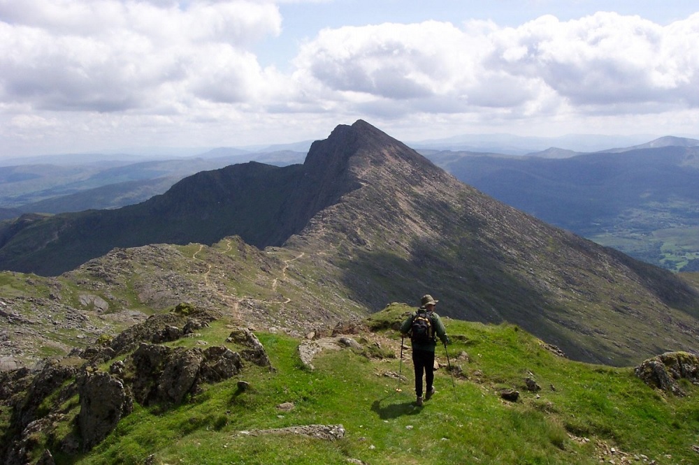
The photo at the top is of Y Lliwedd. 😉
Guess it’s not just the Ordnance Survey who make the occasional mistake, eh?
I bet if it was a Chinese name or some obscure place in Vanuatu it would be correct.
Nation Cymru you misspelt the word “misspelt”, spelling it as “misspelled” within the first sentence.
This article could have been written in one tiny paragraph instead of padding it out and making us read reams of waffle lifted from OS policy statement. It’s clearly an exercise in desperately trying to create another negative story about the OS and get everyone worked up while it’s still topical following the “Hakuna Matata” debacle.
Apart from that and the misidentified photograph at the top,
the article was otherwise perfect, llongyfarchiadau.
Hi ..The fact is the Ordnance Survey maps published today are poor in comparison with the much earlier old 25 in ( to the mile sheets ) published around 1910 or earlier
These old sheets had far more detail and were entirely reliable . As with most things in the modern age the latest O.S sheets are poor
That may or may not be true. It doesn’t detract from my criticism of the article. Nation Cymru always has numerous spelling mistakes and others and they criticise OS for a mixing-up-their-double-letters spelling mistake, one, unrepeated time buried in their literature while Nation Cymru themselves can’t even correctly identify a photograph of Yr Wyddfa and make their own spelling mistake within the first sentence.