


Plans approved for creation of new wetland habitat
Elgan Hearn, local democracy reporter
Plans to create a new wetland habitat have been approved by county planners.
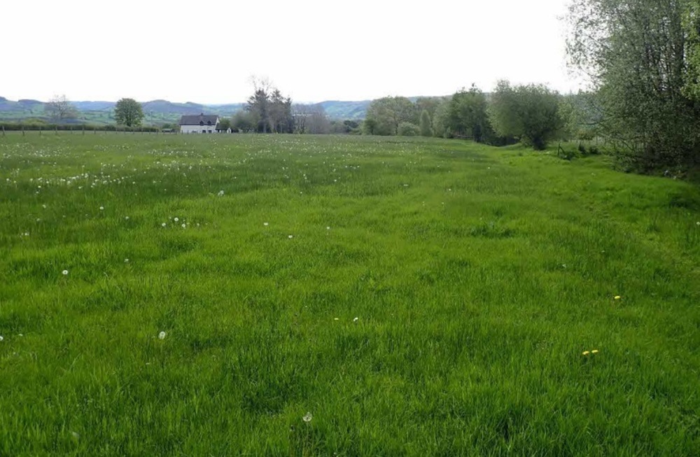
Alan Bridger lodged a planning application with Powys County Council to change the use of a field to the south of Ty Gwyn, Cefn Coch near Llanrhaeadr-ym-Mochnant from agricultural.
He intends to create a series of eight ponds and “seasonal scrapes” in a bid to create wildlife habitat and increase biodiversity.
Mr Bridger described the plans as a “small” contribution to address the “ecological emergency” facing the planet.
The ponds will vary in size from 10 metres to 26 metres in diameter and would have depths ranging from 0.5 metres to 1.5 metres.
Biodiversity
Mr Bridger said: “My partner Fiona Slater and I are working hard to improve the quality of land for wildlife with a view of increasing biodiversity as much as possible.
“To inform the work we commissioned an ecological survey of the land last year.
“One of the key recommendations of this was that the fastest way to boost biodiversity would be to construct some new wetland habitats including a series of ponds and scrapes in the wetter areas of the site.
“Some of these ponds can be designed to permanently retain water whereas others could dry out to various extents to provide a draw down zone that is attractive to some specialist plant and animal species.”
Mr Bridger explained that the land at Ty Gwyn had been “extensively” drained in the past to provide sheep and cattle grazing.
Poor quality
Mr Bridger said: “But the land remains very wet for much of the year and is still poor quality pasture.”
He added that the scheme would “restore” much of the original character of the land and its wildlife without “compromising” the grazing potential or removing quality pasture from production.
Planning officer Natalie Hinds said: “The development is located on an existing agricultural field, which has a grade four land classification and is therefore considered to be of low value.”
“The southern part of the site lies partially within zone two for surface water and small watercourse flooding, where it is adjacent to an existing small watercourse.”
According to Ms Hinds the council’s land drainage team had been consulted on the proposal and as it “will not alter” the watercourse and said that it was “unlikely” to increase the flood risk of the site or surrounding area.
Ms Hinds said: “It is therefore considered that the proposed development does fundamentally comply with relevant planning policy.
“The recommendation is one of conditional consent.”
Support our Nation today
For the price of a cup of coffee a month you can help us create an independent, not-for-profit, national news service for the people of Wales, by the people of Wales.


