


Plans submitted to move sea defences to protect flood-hit village
Bruce Sinclair, local democracy reporter
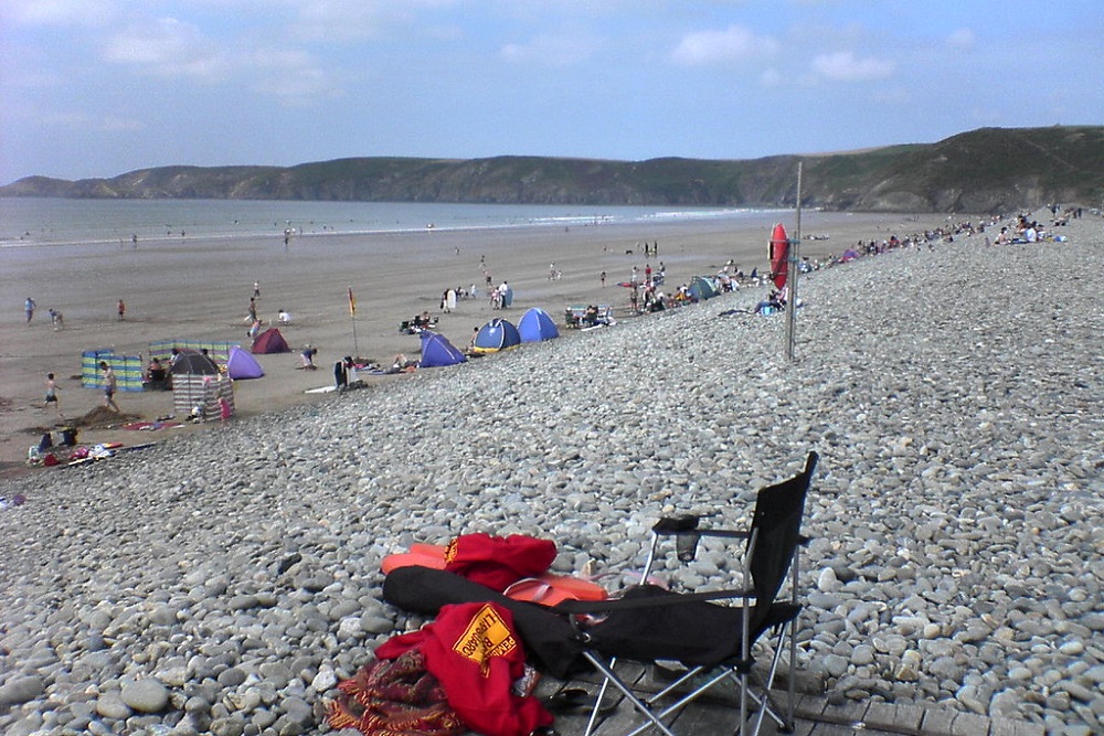
Plans to relocate part of a flood-hit village’s shingle sea defences to protect local businesses and the main road have been submitted.
Peter Keeling of the campaign group Stand Up for Newgale (STUN) has submitted an application for permission to relocate a 570m section of the villages shingle bank defences 10m seaward, in order to protect local businesses and the A487 from flooding, and waves overtopping affecting access.
The application is currently being validated by Pembrokeshire Coast National Park officers ahead of details of the full application been made available, a spokesperson for the authority has said.
Newgale was hit hard by flooding following storms in early 2014 storms, and later by Storm Dennis in 2020.
David Cameron
In 2014 it was visited by Prime Minister David Cameron, as part of a tour of the UK to “learn lessons” following storms and flooding that year.
The main A487 road was closed for about 14 days after waves breached pebble defences that year.
In one of the flooding incidents that took place that year, a Richards Bros bus was stranded in floodwater and the pebble sea defences after it was hit by a high wave, leading to the rescue of around 10 passengers.
The same year, Pembrokeshire councillors were told a “managed retreat” of infrastructure and houses at Newgale was likely “over the next 60 years or so” but other work needs to be undertaken before then.
Bypass
Later, long-term plans emerged for a ‘bypass’ for Newgale which would “hug the valley” from Penycwm to a new roundabout near Roch.
In 2018, Pembrokeshire County Council’s Cabinet voted in favour of a recommendation “that a highway link, tying into the A487 to the south of Bay View Farm at its northern end and east of Wood Farm at its southern end, retain the existing road for a reasonable period and undertake community adaptations, be adopted as the preferred route of the new road at Newgale to address coastal adaptation.”
Support our Nation today
For the price of a cup of coffee a month you can help us create an independent, not-for-profit, national news service for the people of Wales, by the people of Wales.
Get more trusted Welsh news
Choose Nation.Cymru as a preferred source in Google News to see more of our journalism.


Part of me thinks that with the seas rising, storms more frequent, money is spent looking at moving away from that that will become inundated even if the bank is shifted 10m seawards. Its not nice but the harsh reality is melting polar caps, it will get worse.
According to wiki the storm beach was created in 1859 in a major storm by the sea. It was where physics wanted the storm beach at that time in those conditions. With sea levels slowly rising the beach will want to migrate inland until stopped by natural features in the landscape. Moving the beach towards the sea, in effect stealing the land from the sea, will likely end badly at some point in time and result in even greater maintenance costs.
This has been tried at Amroth. and also at Wiseman’s bridge and has failed both are storm beaches like Newgale
The Strand aka Railway street at Saundersfoot .is a storm beach that has been built over but here the original cliff face is continually being eroded by seawater ingress