


Project aims to ensure Welsh language name provision on maps

A new project aims to give people in Wales the power to improve the provision of Welsh language names on maps – starting with an exercise that could give you an excuse for a trip to the local pub.
If you believe that your local is the best local, or that the new extension-on-the-extension of your pub needs to be on the map, this is your opportunity to make sure it’s there for all to see.
Iechyd da!
OpenStreetMap is the Wikipedia of the mapping world, and a Welsh project is now eager for people in Wales to put their pub on their Welsh version of the map.
One of the first pubs to be added already is Tafarn yr Iorwerth on Ynys Môn.
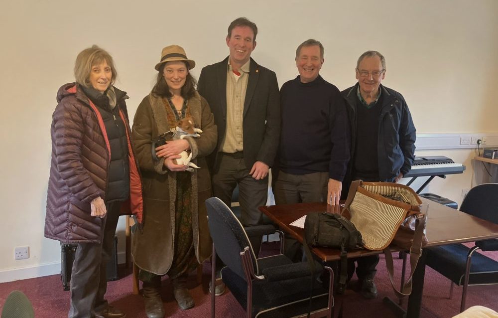
Saturday 9 March saw Welsh Government’s ‘Mapio Cymru’ [Mapping Wales] project organise a day of sharing good practice and conversation in Tafarn yr Iorwerth (previously known as the Iorwerth Arms) in Bryngwran on Sir Fôn.
Project
The location was chosen as it recently had its Welsh name added to Mapio Cymru’s openstreetmap.cymru, the official Welsh-language online map of Wales, an important part of the national Data Map Wales project.
‘Mapio Môn’ was an opportunity for mapping enthusiasts to meet up to see what can be done to improve the provision of Welsh-language names on maps.
Experts from the Welsh Place-name Society, Transport for Wales and from the community-run pub Iorwerth Arms itself shared ideas which could support the long-terms aim of Mapio Cymru – i.e. to make Welsh-language data equal in quality and quantity to the English-language data already available for Wales.
This data could then be used freely in future mapping apps and services from any provider; across education, tourism, fitness, gaming, sustainability, and public services.
Hot potato
Welsh place-names have been a hot potato in Welsh-language heartlands, however Ordnance Survey use the official Welsh-language names too.
Welsh Place-name Society member Steve Roddick explained: “The Cable Bay name will be recorded, but it’s in the metadata of the digital map, hidden away from the eye but visible to the computer…so if you were sitting at the end of a 999 call and you carried out an enquiry, the name would come up, you’d know the location you need to send the ambulance to…
For the paper map, the one the public use, the Welsh name is always recorded in preference…[Cable Bay] is a sort of a nickname, and generally nick-names aren’t visible on the Ordnance Survey map.”
Welsh-language names of historical importance can be kept in the public eye on Wales’ official online Welsh-language map via osm.org.
For further details on how to add local pubs and other features, follow #mapioCymru on social media or email [email protected].
Audio highlights from the bilingual discussions will be shared online soon on mapio.cymru.
Support our Nation today
For the price of a cup of coffee a month you can help us create an independent, not-for-profit, national news service for the people of Wales, by the people of Wales.
Get more trusted Welsh news
Choose Nation.Cymru as a preferred source in Google News to see more of our journalism.


Great project!!
I would encourage anyone with an interest in Welsh Place Names to look at the Welsh Place Names Society website & maybe consider joining….for the price about 3 coffees per year! They do GREAT work!!!
ENGLISH – https://www.cymdeithasenwaulleoedd.cymru/en/
CYMRAEG – https://www.cymdeithasenwaulleoedd.cymru/