


Storm Henk to bring very strong winds and heavy rain to parts of Wales
Storm Henk is expected to bring very strong winds and heavy rain across much of southern Wales, with the Met Office issuing amber and yellow warnings.
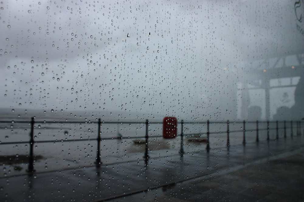
Coastal areas could see gusts of 70-80mph while inland areas could see 50-60mph winds as the storm, named by the Met Office, sweeps across the country.
Forecasters said there is a good chance that power cuts could occur, with probable damage to buildings, travel disruption and a chance of injury or loss of life from flying debris.
The amber warning is in place from 10am to 8pm on Tuesday, while a yellow warning for wind is in place from 8am to 9pm.
Disruption
It says: “Storm Henk will bring a spell of very strong winds, causing disruption to travel and utilities.
“Heavy rain falling on saturated ground is likely to cause some travel disruption.”
Those living near the coast are advised to avoid walking near any large crashing waves as they may drag people out to sea.
Motorists should drive slowly, and homeowners should secure garden furniture and other loose objects, the Met Office said.
National Resources Wales (NRW) has issued 11 flood warnings and 38 alerts . The warnings cover River Ewenny at Ewenny Village, River Dafen at Trostre, Llanelli, River Cynin at St Clears, River Loughor at Ammanford and Llandybie, River Hydfron at Llanddowror, Ilston Brook at Ilston, Gower,River Dulais at College Campus and Sandy Road, Pwll, River Towy, isolated properties between Llandeilo and Abergwili, River Gwendraeth Fawr at Pontyates and Ponthenry, River Ritec at Tenby, River Ely at Peterston Super Ely.
NRW says that local flooding is probable from rivers and surface water across parts of Wales today (Monday) and on Tuesday, with some river flooding possibly continuing into Wednesday.
Land, roads and some properties could flood and there could be travel disruption.
Analysis
The Met’s Chief Meteorologist Paul Gundersen added: “Our latest analysis of the forecast shows an increase in the likelihood of very strong wind gusts across parts of southern Wales and England, which is why we have issued this amber warning this morning and named Storm Henk.
“Storm Henk will initially bring very strong winds to the South West of England and southern Wales, with gusts of up to 80mph possible.
“As Storm Henk moves north-eastwards across the south of the UK through Tuesday, the strongest winds will also move eastwards, across the south Midlands, Home Counties and East Anglia through the afternoon and evening.”
Support our Nation today
For the price of a cup of coffee a month you can help us create an independent, not-for-profit, national news service for the people of Wales, by the people of Wales.
Get more trusted Welsh news
Choose Nation.Cymru as a preferred source in Google News to see more of our journalism.


