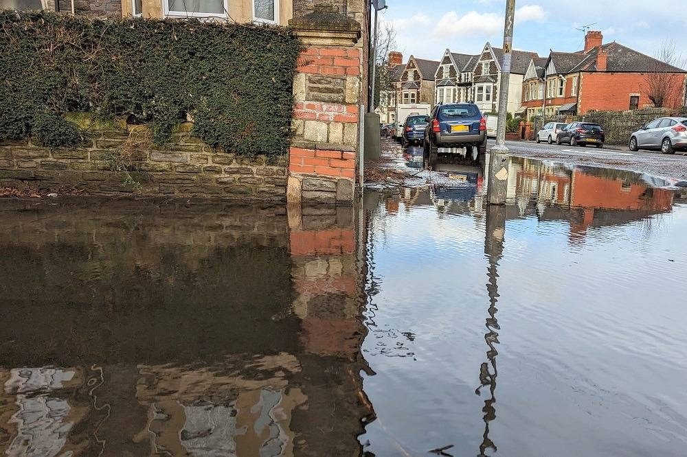
Localised flooding and strong winds forecast for Wales over next 24 hours

It expects flooding on roads to make journey times longer and predicts that the flooding of a few homes and businesses is likely.
Met Office spokesperson Oli Claydon told the PA news agency: “As we move into this evening, we’ll have increasing cloud and then rain moving into the south-west of the UK.”
He added that it would spread north-east overnight and “bring rain to most parts of Wales and England through tonight and tomorrow”.
In the wettest spots 30-50mm of rainfall is possible, and some western parts of Wales over higher ground could see up to 70mm.
Mr Claydon said the rain would clear to the south-east of the UK by tomorrow evening, resulting in “much cooler conditions as we move into the weekend”.
“It will feel very different, especially in the south, where we had those very mild conditions last weekend,” he added.
Alert
Aimee Thomas, duty tactical manager at Natural Resources Wales, said they were asking people to be “alert for potential localised flooding”.
“Surface water flooding is expected, which could cause localised flooding of roads, and flooding from drains, ditches and small streams. The rain could also lead to the issuing of flood alerts and warnings if rivers reach trigger levels,” she added.
Dr Kate Marks, flood duty manager at the Environment Agency, said: “Heavy rain means surface water flooding is probable for parts of the South West later today.
“As the rain spreads north and east, minor surface water and river flooding is also probable across England on Friday, potentially continuing into the weekend.
“Environment Agency teams will be out on the ground, undertaking preparatory operational activity to minimise the impacts of flooding where possible.”
Support our Nation today
For the price of a cup of coffee a month you can help us create an independent, not-for-profit, national news service for the people of Wales, by the people of Wales.


