


Public will get a say about draft active travel map
Richard Youle Local Democracy Reporter
The public are to be given a say about a new map showing potential new cycling and walking routes across a Welsh county.
There’ll be a 12-week consultation on Swansea’s active travel network map, as it’s known, before it’s finalised and submitted to the Welsh Government for approval.
Councils have had to publish active travel network maps for years, and they need to be updated by December 1.
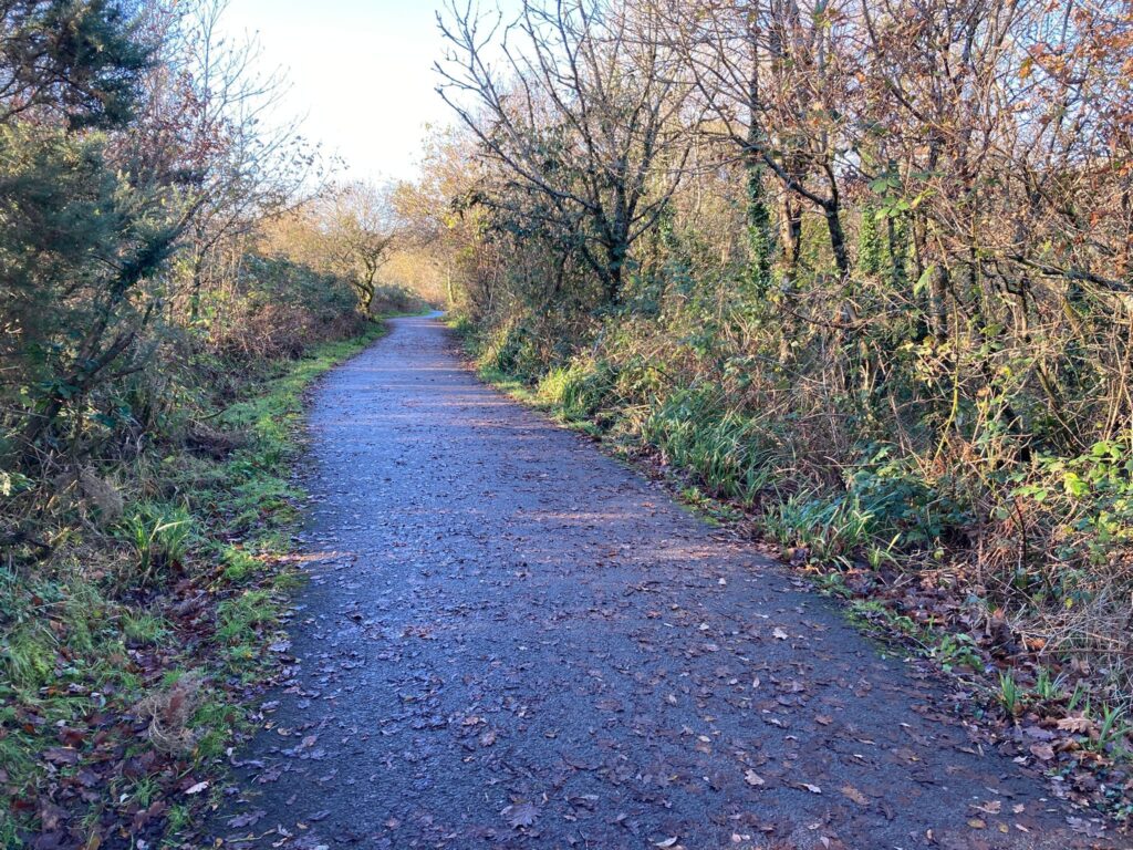
Swansea’s one shows existing cycling and walking routes and scores of possible new ones, although being included on the map doesn’t mean they’ll go ahead for sure.
Council officers have been working on the new draft map for months and gathered public feedback over the winter, which in turn led to further changes.
A potential new link along a former railway track between Glais and Birchgrove has been included as a result of the feedback, along with one between High Street, Gorseinon and Parc Melin Mynach, and one along Beechwood Road, Uplands, among others.
Some routes have been removed, such as a controversial upgrade of a bridleway known as Old Carriage Drive in Clyne Valley Country Park which many people have previously objected to.
Speaking about the draft map at a cabinet meeting, Cllr Andrew Stevens said it was used only as a planning tool. “Putting a route on it does not commit a single pound or guarantee a particular route gets built,” he said.
The cabinet member for environment and infrastructure said the network map kept “the door open” to Welsh Government grant funding, and he thanked council officers for what had been “a huge effort” thus far.
Cabinet approved the draft map which will now go out for public consultation.
There used to be a specific pot of money for cycling and walking schemes in Wales but it’s now wrapped in regional transport funds.
Schemes being delivered in 2026-27 include upgrades of a national cycle network between Dunvant and Gowerton and Gowerton and Loughor, costing £1.2 million, and the start of a new riverside route along the west bank of the Tawe which is expected to cost over £8 million and take three years to complete.
The council then plans to create a long-awaited route across Clyne Common linking Mayals with Bishopston.
Asked by the Local Democracy Reporting Service how individual schemes were selected to be taken forward, a council spokesman it followed relevant active travel guidelines and aimed to create new routes that linked up to existing cycle and walking paths.
Support our Nation today
For the price of a cup of coffee a month you can help us create an independent, not-for-profit, national news service for the people of Wales, by the people of Wales.
Get more trusted Welsh news
Choose Nation.Cymru as a preferred source in Google News to see more of our journalism.


