


Storm Kathleen set to hit UK with warm continental wind
Storm Kathleen is expected to bring both strong winds and the hottest day of the year so far for the UK, as it pummels the country with warm air from the continent this weekend.
The Met Office said western areas will see gusts of up to 70mph on Saturday, while National Resources Wales issued four flood alerts.
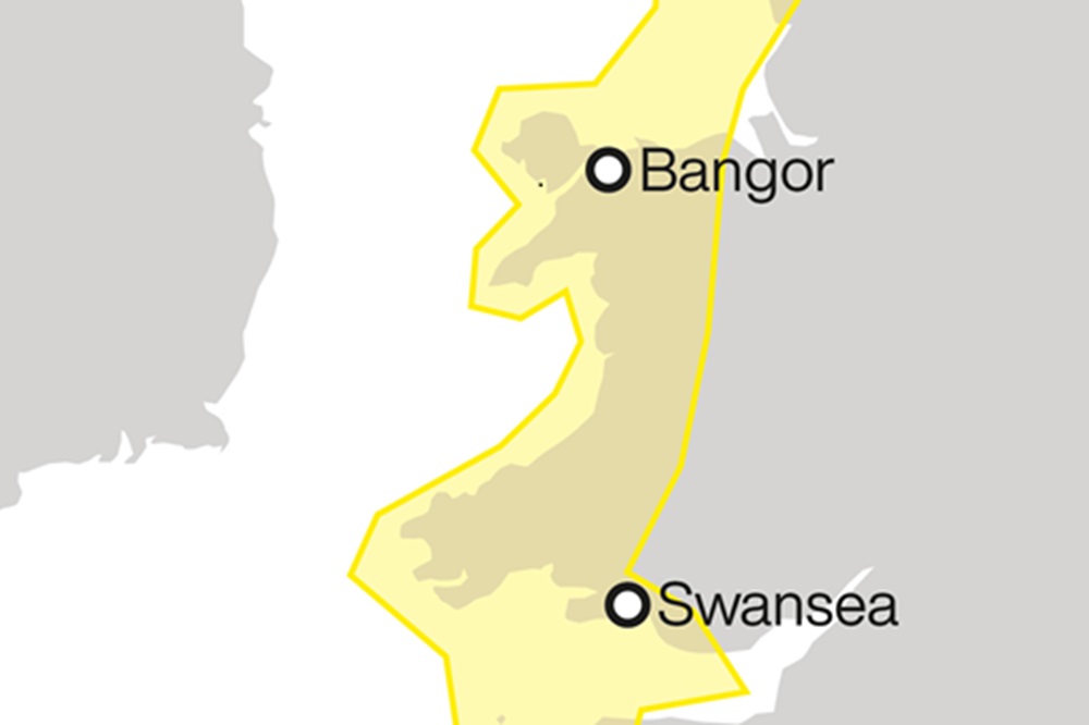
The forecaster has issued a yellow weather warning for wind in Wales, parts of Northern Ireland and Scotland and the north west and south west of England from 8am to 10pm on Saturday.
The Met Office’s shipping forecast had 20 gale warnings in place on Friday evening for sea areas including Lundy, Viking, Plymouth, Biscay, and Sole.
Warmer temperatures
Met Office meteorologist Ellie Glaisyer told the PA news agency: “The storm is the reason we are seeing the warmer temperatures, because the location of the storm – situated out towards the west of the UK – is bringing a southerly wind across the UK.
“This is bringing those warmer temperatures from the continent, meaning we are likely to see temperatures reaching 22C.”
“Storm Kathleen is likely to bring some heavy rain across the UK overnight, which will spread its way northwards across the country,” Ms Glaisyer said, adding: “For most places it should be a relatively dry start to Saturday.”
Ms Glaisyer said: “Almost anywhere is going to see above average temperatures. Western parts of the UK are likely to see temperatures of 15 or 16C.
“However, the further west you are, where those strongest winds are in that yellow warning area, despite the temperatures being above average it will feel a little colder.”
Weather warning
On Friday, the Met Office updated its weather warning to forecast stronger gusts during Storm Kathleen than previously predicted.
It warned of injuries and danger to life from “large waves and beach material being thrown onto sea fronts, coastal roads and properties”, a possibility that “road, rail, air and ferry services may be affected” and the potential for power cuts and phone service outages.
RAC Breakdown spokesman Rod Dennis said: “This intense period of stormy weather is going to prove extremely challenging for anyone driving on the western side of the UK.
“We strongly urge drivers to avoid exposed coasts and higher routes where the impact of the very strong winds is most likely to be felt.”
Low pressure
“There will still be some showers around, but there should be some sunshine between those showers”, Ms Glaisyer said, adding: “It is generally remaining unsettled through much of next week.
“There is another area of low pressure moving towards the UK through Monday and into Tuesday. That is likely to bring some heavy rain for much of the UK, particularly in the West.
Storm Kathleen, named by the Irish meteorological service Met Eireann, is the 11th named storm in eight months.
It is only the second time in a UK storm season that the letter K has been reached in the alphabet.
Support our Nation today
For the price of a cup of coffee a month you can help us create an independent, not-for-profit, national news service for the people of Wales, by the people of Wales.
Get more trusted Welsh news
Choose Nation.Cymru as a preferred source in Google News to see more of our journalism.


