


Technology used to map other planets to be used to assess safety of Wales’ disused coal tips
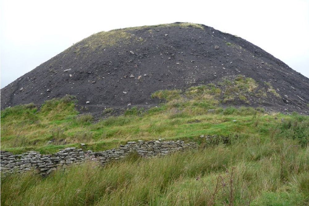
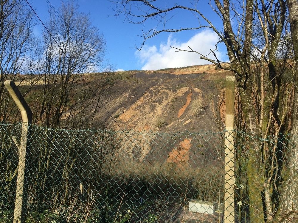
Technology used to map moisture on other planets will be used to scan Wales’ coal tips to help find out whether they pose any risk.
The project will utilise GroundSat, a newly developed soil moisture mapping technique developed by the companies Central Alliance and Asterra.
GroundSat is an adaptation of space technology that is used to search for water on other planets.
It will be used to collect high-resolution soil moisture data across 10 different local authorities in the south of Wales, covering coal tips and surrounding areas.
The assessment will be used to confirm whether existing drainage systems are effective and identify any hidden moisture which could represent a future risk.
Richard Pidcock, joint managing director at Central Alliance, said: “It’s fantastic that the Welsh Government and the Coal Authority are turning to the latest technology proactively, to help provide reassurance that existing drainage systems are effective and to identify hidden wet areas.
“As we have seen from recent extreme weather events from around the world, it is vitally important to monitor the impact of climate change, and the GroundSat satellite mapping project will form an important dataset for that assessment, confirming the Welsh Government’s commitment to proactive assessment of climate change.”
‘Innovative’
The Welsh government said that the work, which has been funded by the Welsh government as part of the Coal Tips Safety programme, will helo assess the safety of disused coal tips.
Lori Frater Head of the Welsh government’s Coal Tip Safety Task Force, said: “It’s important that all possible means of monitoring of tips over the long-term are considered and funding different technology trials helps to ensure we have appropriate approaches in place.”
The first phase of the project is due to start this month, capturing data in relatively drier months. A second phase will be introduced early next year to capture seasonal change in winter.
Tim Marples, head of tips response at the Coal Authority, said: “We are pleased to engage Central Alliance to undertake this innovative review which we believe has the potential to add value to the project.
“We look forward to working with Central Alliance to assess this technology and the opportunities it presents.”

Support our Nation today
For the price of a cup of coffee a month you can help us create an independent, not-for-profit, national news service for the people of Wales, by the people of Wales.
Get more trusted Welsh news
Choose Nation.Cymru as a preferred source in Google News to see more of our journalism.


