


Wales braced for next heatwave as temperatures set to soar
Nation.Cymru staff
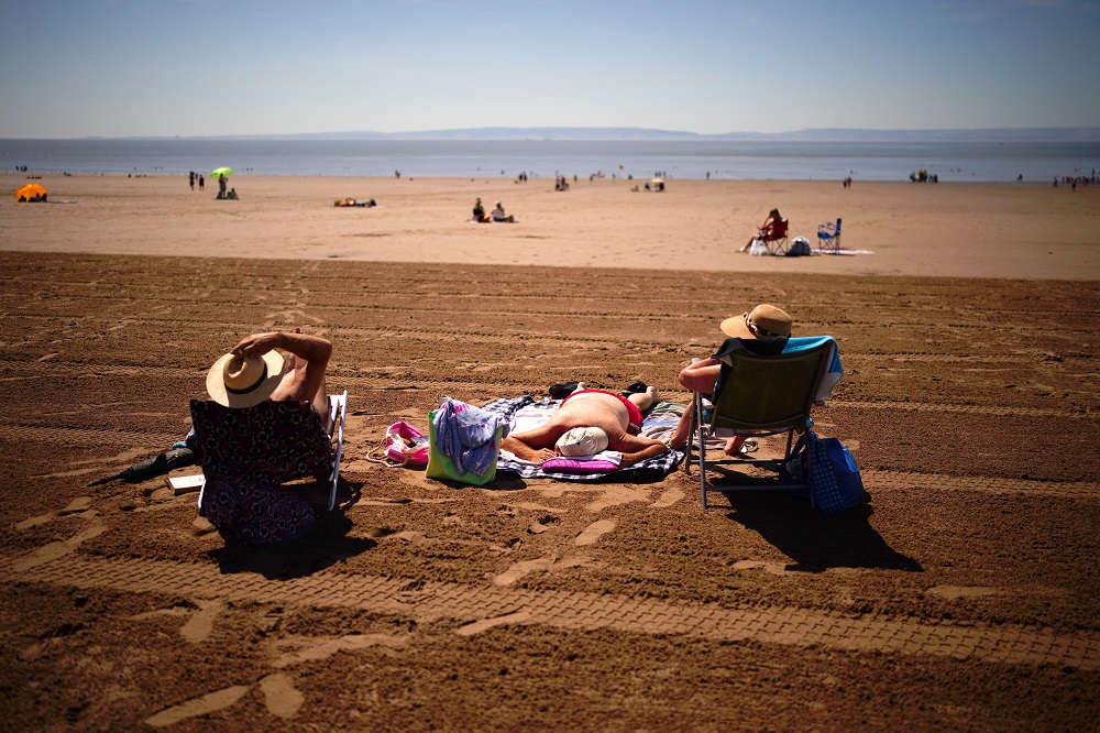
Wales is set for its next spell of heatwave conditions this summer, with temperatures forecast to climb to 30C on Tuesday before potentially reaching the mid-30s later in the week.
The Met Office is forecasting a settled and increasingly hot start to the week, beginning with a dry Monday featuring sunny spells and maximum temperatures of around 24C.
Clear spells are expected overnight before strong sunshine on Tuesday sends temperatures sharply higher, with a maximum of 30C forecast.
Wednesday and Thursday are expected to be the hottest days, with Met Office meteorologist Tom Morgan saying temperatures could reach the mid-30s “quite widely” across England and Wales.
Thursday currently looks the most likely day for temperatures to reach 36C somewhere in the UK, although the highest values are expected in England.
Mr Morgan said: “If it wasn’t for this incredible summer that we’re currently seeing, then we’d be talking about these temperatures as being really, very unusual.
“But of course, we’ve had such an exceptional summer, people have become a bit used to it.”
The Met Office is considering whether to issue rare amber or red extreme heat warnings because of the potential impact on infrastructure and vulnerable people.
The heatwave conditions return with the whole of Wales already officially in drought following one of the driest periods on record.
Natural Resources Wales (NRW) extended drought status across the entire country at the end of July after river levels fell, groundwater declined and pressure increased on wildlife and farming.
Wales received just 8% of its long-term average rainfall for the month, putting the country on course for its driest July since records began around 190 years ago.
The prolonged dry conditions have affected rivers, wildlife and agriculture, with reports of some watercourses drying out and farmers facing reduced grass growth and concerns about water supplies for livestock.
A Temporary Use Ban is already in force in Mid and South Ceredigion, although drought status does not automatically mean hosepipe restrictions will be introduced elsewhere.
Rain
The settled spell could begin to break down towards the end of the week, with cloud and patchy rain expected to arrive first across northern areas.
From Friday, the Met Office is forecasting a north-south split, with rain or showers more likely in the north while southern areas remain predominantly dry, sunny and hot.
Temperatures are expected to ease somewhat over the weekend but remain above average, with further spells of hot weather possible later in August.
Periods of rain or thunderstorms are also possible, although rainfall is expected to be patchy and some areas could receive relatively little.
NRW has warned that sustained rainfall, rather than isolated showers, will be needed to replenish depleted soils, rivers and groundwater and bring an end to drought conditions.
Support our Nation today
For the price of a cup of coffee a month you can help us create an independent, not-for-profit, national news service for the people of Wales, by the people of Wales.
Get more trusted Welsh news
Choose Nation.Cymru as a preferred source in Google News to see more of our journalism.



One thing with all these heat waves, rain has always been 7-10 day away but never arrives.
That looks lovely, however the A470 after Builth is in smoke, taking two hours to get to the bridge. You could report that, be useful like…
Last weeked there was lots of rain in Pembrokeshire and Carmarthenshire. Filled my water butts. It’s called the ‘dangler’ where England still has high pressure and Ireland low pressure and rain goes up the Irish sea clipping south west Wales.
No farmers are concerned then?