


Wales sees strongest Storm Dave gusts as warnings lifted early
Travel disruption is continuing in the wake of Storm Dave after yellow weather warnings were lifted early as it pulled away.
Three yellow warnings across parts of Wales, northern England and Scotland had been due to remain in place until midday on Easter Sunday but were lifted by around 7.30am as the weather improved.
However some motorists faced disruption due to fallen trees blocking routes, and public transport across the UK saw cancellations.
Storm Dave swept in on Saturday and an amber wind warning covering north Wales and parts of the coast was in place until 3am on Sunday.
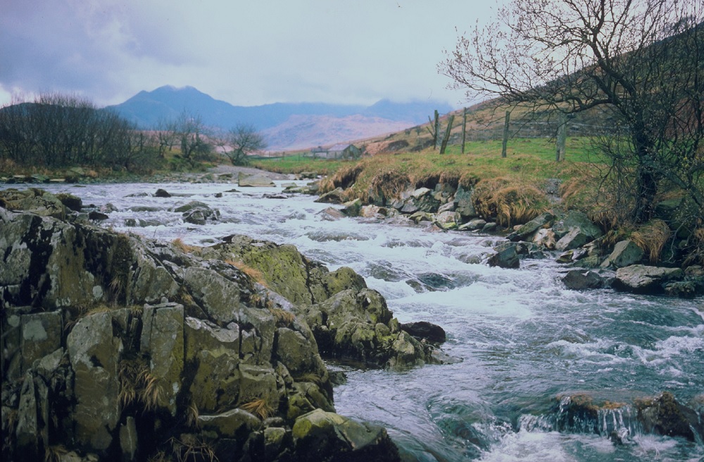
The strongest gust overnight was 93mph at Capel Curig, while gusts of 75mph were recorded at Emley Moor in West Yorkshire and St Bees Head in Cumbria, and one of 73mph was recorded at Buchan in Aberdeenshire, the Met Office said.
Marco Petagna, a Met Office spokesman, said: “The winds eased down a bit more quickly than forecast across Scotland, northern England and Wales.
“Storm Dave is pulling away and the warnings are easing more quickly than forecast so the yellow warnings were no longer warranted.”
Before the severe amber weather warning was lifted, the Met Office had forecast “severe gales” across central and northern areas of the country overnight into Sunday.
There was snow in Skye and other parts of western Scotland including Inverclyde while Glasgow saw snow late in the morning on Easter Sunday.
Network Rail Scotland put speed restrictions in place on some routes, with the last of these lifting at around 8am on Sunday.
The Humber Bridge linking East Yorkshire with north Lincolnshire reopened after being closed in both directions to high-sided and vulnerable vehicles early on Sunday due to strong winds, National Highways said.
Network Rail Manchester announced rail replacement bus services would run between Manchester Piccadilly and Chester due to overnight conditions.
The Met Office’s forecast for Wales said: “Easter Sunday will start on a rather cloudy, breezy and showery note. The showers will become very isolated by the middle of the day though, leaving plenty of sunny spells for the afternoon.”
Temperatures will feel a bit colder than those of late, reaching a maximum of 11 degrees, while light rains are possible this evening and there may be frost overnight as temperatures drop.
As of 9am on Sunday Wales had three coastal flood alerts across the north coast and the Llun peninsula, but these have since been lifted.
The Energy Networks Association, which represents electricity network operators, said on Saturday: “The storm has the potential to affect local power infrastructure, increasing the risk of a power cut and fallen power lines.
“Network operators are increasing staffing for operational teams, and moving spare equipment to where the weather is expected to be most disruptive, so it’s ready to use if needed.”
Support our Nation today
For the price of a cup of coffee a month you can help us create an independent, not-for-profit, national news service for the people of Wales, by the people of Wales.


