


Wales set for week of sunshine and high temperatures
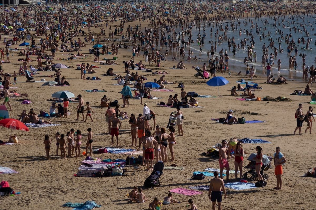
A warm week lies ahead for Wales, with sunshine returning after a cloudy start on Monday and temperatures set to climb above 30C.
Monday will see scattered overnight showers affecting parts of west and north Wales, stretching from the Aberystwyth area up towards Caernarfon, as well as Flintshire.
The rain should linger through the morning before clearing by early afternoon, leaving much of the country dry for the rest of the day.
Cloud cover will be extensive across most of Wales, although parts of the west coast may enjoy some brighter spells before skies become overcast again by the evening.
Temperatures will be slow to climb but are expected to reach around 27C in south east Wales, 24C in the north east and 19C along the Cardigan Bay coast. It will also be fairly breezy, with winds generally around 10mph and gusts reaching 13mph in the south.
A few overnight showers will linger around the north west coast and Cardigan Bay, but these should clear by around 9am, making way for a warm, settled day across Wales.
After a cloudy start, sunshine is expected to break through during the afternoon before giving way to clear evening skies.
Temperatures will climb quickly from overnight lows of around 15C, reaching highs of 29C in south east Wales, 26C across mid Wales and around 20C along the coast. Winds will remain light for most, generally between 7mph and 12mph, making it feel particularly warm inland.
On Wednesday, overnight temperatures will fall to around 11C before another hot day develops. A brief shower is possible around Pembrokeshire during the morning, while Ynys Môn could see some rain later in the evening. Elsewhere, it should stay largely dry.
Wednesday is set to be one of the hottest days of the week, with temperatures climbing to around 30C in south east Wales, 28C across much of mid and north Wales, and 21C along the coast. Winds will stay fairly light inland at around 6mph, although north east Wales could see breezier conditions with speeds reaching 11mph.
Thursday currently looks set to be the hottest day of the week, despite the chance of a few isolated showers during the day. Temperatures could reach 32C in south Wales, while coastal areas in the north are expected to top out at around 23C.
Winds will remain light for much of the country, generally no stronger than 5mph, helping conditions feel even warmer, although Holyhead and St Davids could see slightly stronger breezes of around 10mph. Skies should stay largely clear before a weather front begins moving eastwards overnight ahead of Friday.
UK Weather
Elsewhere in the UK, temperatures of 30C are on the way once again while a yellow rain warning has been issued for parts of the country.
A heatwave could be declared in parts of the South East on Monday, as temperatures reached 29C on Saturday, are expected to be the same on Sunday and could reach 31C on Monday, the Met Office said.
A week-long warning from health officials came into force on Saturday in parts of the UK, saying high temperatures over the coming days could cause a greater risk to life for vulnerable people.
The Met Office said temperatures of 29C are forecast for Sunday, then temperatures will approach the low 30s next week before a peak of 34C on Thursday in the South East.
There is expected to be a prolonged spell of hot weather in parts of the UK, but it will not be as hot and humid as last month’s heatwave, the forecaster added.
And a yellow rain warning will come into force in parts of north-west Scotland at 5pm on Sunday, until 10am on Monday, where there could be 40mm of rainfall widely and up to 100mm over the highest ground, the Met Office said.
Yellow heat health alerts have been issued by the UK Health Security Agency (UKHSA), covering the East Midlands, east, south-east and south-west of England, including London, and the West Midlands, from midday on Saturday until 8pm on July 11.
The agency said that within the warning area, minor impacts were likely across health and social care services because of the high temperatures, including increased use of healthcare services by vulnerable people and a greater risk to life to the same group.
It also warned of a potential increase in water-related incidents, including risks from cold water shock and drowning.
Met Office meteorologist Becky Mitchell said: “This coming night should be quite warm across much of England, temperatures in the mid to high teens.
“At 1am in the South East of England temperatures will still be around 16 or 17C, further north, you’re looking at 14 or 15C, so pretty warm for overnight.
“It should be quite comfortable for walking home after the match. It’s looking quite dry across much of England tonight.”
Ms Mitchell added that temperatures reached 29C on Saturday and similar is expected on Sunday.
She said: “We’re already in heatwave threshold category in the South East so, by the end of tomorrow, the South East will officially be in a heatwave.”
Thursday is currently expected to be the peak at 34C, before it slowly climbs down, but parts of the south will still be in the low 30s at the end of next week, she said.
Meanwhile, Southern Water has issued a hosepipe pan from 12.01am on July 10 in Hampshire and on the Isle of Wight.
And South East Water’s temporary hosepipe ban for people living in Kent came into force on Friday.
The UKHSA’s new alert comes after a sweltering heatwave last week, during which the Met Office issued a rare red warning for extreme heat for parts of the country and the UKHSA put red heat health alerts in place.
The UK set a provisional June temperature record of 37.7C in Lingwood in Norfolk, according to the Met Office.
It beats the previous June record for the UK of 35.6C dating back to 1976 by more than 2C.
Such records have usually been broken by only a fraction of a degree in the past.
Support our Nation today
For the price of a cup of coffee a month you can help us create an independent, not-for-profit, national news service for the people of Wales, by the people of Wales.
Get more trusted Welsh news
Choose Nation.Cymru as a preferred source in Google News to see more of our journalism.



Approximately 1200 people have died in Europe recently due to heat, 1500 in the UK 2025 due to heat, Gov details list England only. France is battling wildfires, infrastructure struggles to cope and we still put picture of a beach on these headlines. This is getting worse.
Don’t look at the Pacific either.