


Wales set to swelter in up to 37C as extreme heat warning expanded
Nation.Cymru Staff and Rosie Shead, Press Association
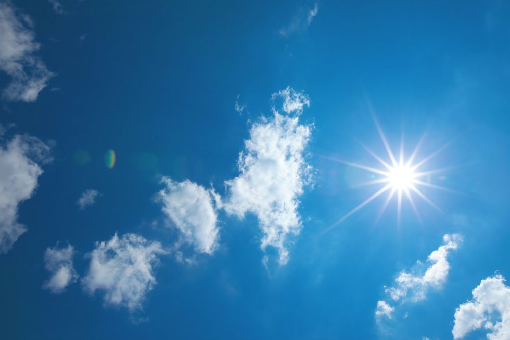
An extreme heat warning has been expanded as the country braces for a heatwave that could see highs of 37C.
The Met Office said the baking heat could last until at least Thursday, sparking weather warnings, health alerts and concerns for vulnerable people.
Monday will see showers and cloud gradually moving north-east across Wales, travelling from Pembrokeshire towards Wrexham before clearing by around 9pm.
Aside from a few scattered showers before lunchtime on Thursday and some light cloud at times, dry and sunny conditions are expected to dominate the rest of the week.
Monday will see temperatures reach 32C in south Wales and around 28C along the coast, before falling to about 20C overnight.
Conditions will heat up rapidly again from sunrise on Tuesday, with temperatures climbing to 34C in Monmouthshire and the border counties. Further west, temperatures will ease slightly, with coastal areas enjoying a more comfortable 25C.
Wednesday is expected to be even hotter. Following another warm night, temperatures in south-east Wales are forecast to reach 34C by the afternoon.
The north-east and south-west are likely to hover around 30C, while the mid-Wales coast could see highs of around 27C.
There will be little relief on Thursday, with temperatures along the border potentially reaching a sweltering 37C. Even coastal areas are expected to see highs of around 32C despite the chance of a few showers earlier in the day.
Conditions are set to become more manageable on Friday, although temperatures will remain above average, reaching the mid-20s in many areas.
Increased cloud cover and the return of scattered showers will bring a return to the more changeable weather Wales has experienced for much of June so far.
Elsewhere in the UK, forecasters have said there is “growing confidence” this week could break the record for the hottest June temperature of 35.6C, which was set in 1976 in Southampton.
The coming days will see humid conditions and potentially tropical nights, when the overnight temperature does not fall below 20C, making it feel “muggier” than last month’s heatwave, the Met Office said.
Extreme heat
On Sunday, an amber extreme heat warning issued by the weather service was expanded to last from Monday until Thursday.
The alert flags potential health impacts for people vulnerable to extreme heat and heat-related issues for the wider population, as well as a possible increase in water safety incidents.
Monday and Tuesday’s warning covers most of southern England, central and eastern Wales, and much of the Midlands, while Wednesday and Thursday’s alert also includes parts of Greater Manchester, Yorkshire and Cheshire.
People in the alert area are advised to drink plenty of fluids and keep out of the sun, and avoid exercising between 11am and 3pm, the Met Office said.
Substantial changes to working and daily routines will likely be required and disruptions to road, air and rail travel should be expected, according to the weather service.
Take care
Met Office meteorologist Simon Partridge said: “It’s a very unusual, very rare spell of very hot weather, so it’s one of those ones where people should take care, try to keep their houses as cool as possible, check in on those that are vulnerable, so the very young and very old, in particular, are more vulnerable to extreme heat.
“But everybody will feel this because it will be very hot and the overnight temperatures, in particular, will mean that people won’t be getting as much sleep, probably, as they would usually do, so it will affect everyone.
“There’s also potential for impacts to transport as well. We know that when things get very warm, there can sometimes be issues with railway lines, and even possibility that some roads might not be doing too well.
“If it gets too warm, you may even see a little bit of tarmac melting at times.”
Between Bristol and London and south of the M4 are expected to be the hottest areas, with most of England and Wales to see temperatures higher than 30C, he said.
Separate amber heat health alerts have been issued by the UK Health Security Agency (UKHSA) which now cover most of England from Monday morning until Friday night.
A UKHSA yellow heat alert is also in place for north-east England during the same period.
Mr Partridge said: “We’re also asking as well for everybody to just be very wary around bodies of water, because in the last heatwave, unfortunately, quite a few people lost their lives by going into cold water and getting cold water shock.
“That’s still very much an issue, so just be careful how you cool yourself down.
“If there’s the option between a hose pipe and jumping in the lake, probably go for the hose pipe and just keep yourself safer.”
Europe
Meanwhile, Europe is also sweltering under the heatwave, with temperatures forecast to hit 37C in Rome and 39C in Madrid on Monday.
In France, highs of 40C are expected on Sunday, with Monday likely to be even hotter as emergency services and military forces have been put on wildfire alert.
Public alcohol consumption restrictions have been put in place by French authorities and some outdoor sporting events cancelled.
Asked how climate change is impacting the current conditions, Mr Partridge said very hot spells are becoming more frequent.
“This is the second heatwave of this year already so it just shows that the warming climate means that these more extreme spells are becoming more frequent, and that’s unfortunately just the way things are going at the moment and it doesn’t seem to be slowing down.”
On Sunday morning, a crowd of more than 20,000 people flocked to Stonehenge and Avebury in Wiltshire to see the sun rise at 4.25am on the longest day of the year, according to English Heritage.
Visitors, some wearing flower head-dresses, touched the ancient monument and cheered as the glowing sun peeked over the misty horizon.
Highs of 31C are forecast in London along with 27C in Cardiff and 21C in Scotland and the north of Ireland.
The heat comes after at least 15 people died after getting into trouble in open water during a hot spell in May.
Drowsy
Samantha Hughes, national water safety partner at the Royal National Lifeboat Institution, said: “With warmer weather approaching, it’s important to remember that the water is still cold.
“Entering it unexpectedly can lead to cold water shock, causing a sudden increase in breathing and heart rate, which may trigger panic.”
After the latest heat health alerts were issued, the Health and Safety Executive said employers must ensure their workers are protected while maintaining productivity during the heatwave.
On Sunday, NHS England said visits to its webpage on hay fever advice have more than doubled in the past week following hotter weather.
Duncan Burton, chief nursing officer for England, said: “People should be careful not to double-dose on medication which might make them drowsy, particularly if planning to drive.”
Last summer was the hottest on record for the UK, with a mean temperature of 16.1C between the start of June and the end of August, according to the Met Office.
The previous record was held by summer 2018, followed by 2006, 2003, 2022 and 1976.
Support our Nation today
For the price of a cup of coffee a month you can help us create an independent, not-for-profit, national news service for the people of Wales, by the people of Wales.
Get more trusted Welsh news
Choose Nation.Cymru as a preferred source in Google News to see more of our journalism.


Drink plenty of water, stay in the shade as much as you can between 11am and 3pm, check on elderly or vulnerable neighbours. Don’t leave pets or young children in hot cars for any amount of time. Use your common sense people, you got it for nothing!