Welsh wildfire risk to be assessed by aerial drone technology
Nation.Cymru staff
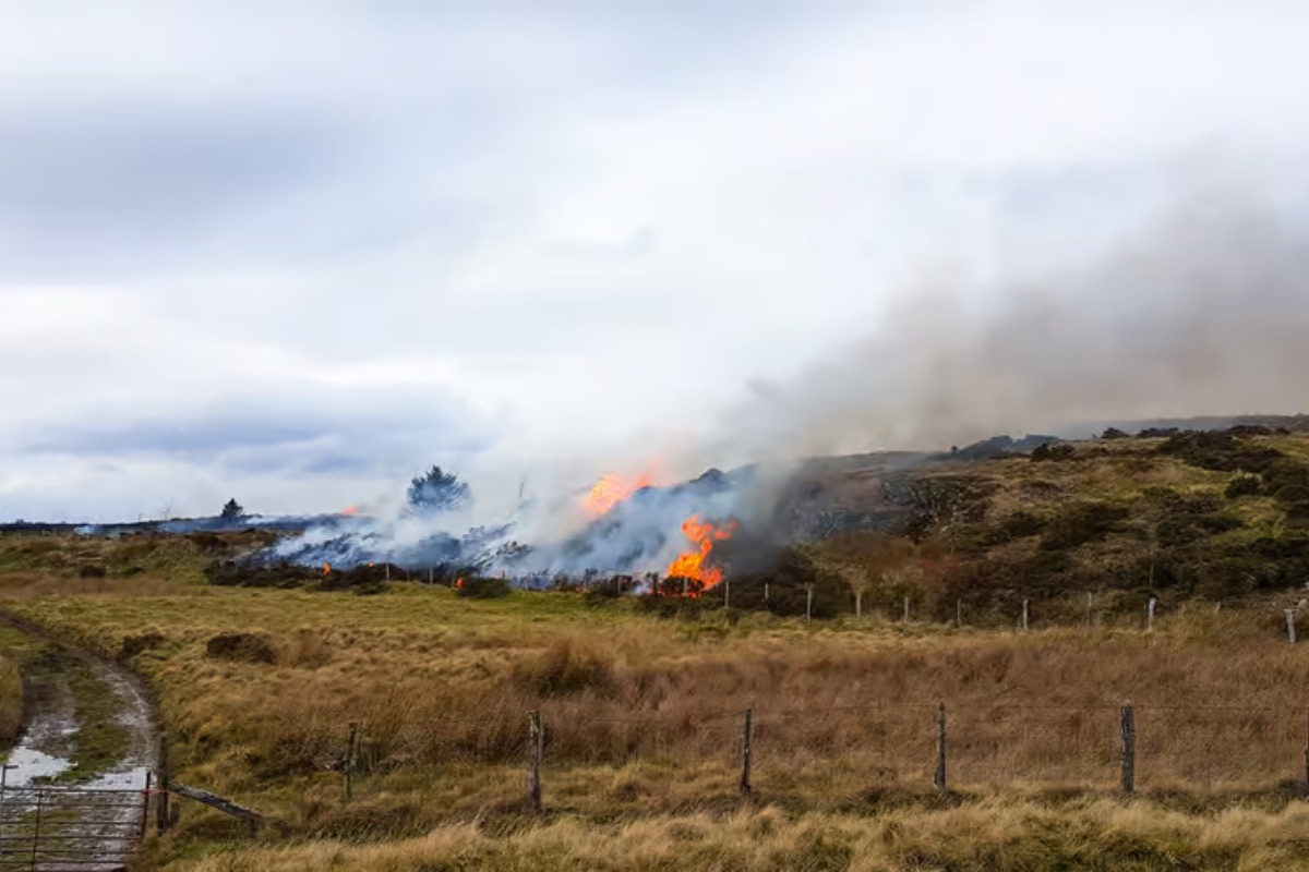
Drones equipped with artificial intelligence could be used to spot wildfires in Wales before they spread and help emergency services tackle them, according to researchers.
A team at Cardiff University is developing technology designed to rapidly survey large and difficult-to-reach areas and identify signs of increased fire risk.
The drones would use thermal and optical cameras to detect hotspots that may be difficult to see from the ground, while AI would analyse the information in near real time.
Researchers hope that by combining the aerial images with weather, terrain and environmental data they can identify changes in vegetation, heat patterns and other warning signs.
The ultimate aim is to develop tools capable of pinpointing areas at greatest risk and providing emergency services with information both before and during a wildfire.
The project, led by Cardiff University and Swansea Airport Stakeholders’ Alliance, will run a one year pilot study in the Gower Peninsula from October 2026.
Wildfires are a growing concern in the area, placing increased pressure on fire and rescue services while threatening communities, wildlife, infrastructure and environmentally sensitive landscapes.
Project lead Dr Rukshan Navaratne, a Reader in Power and Propulsion at Cardiff University’s School of Engineering, said: “Aerospace research is not only about developing the next generation of aircraft. Technologies being developed for aviation – from autonomous systems and advanced sensors to artificial intelligence and aerial platforms – can help address major challenges facing society.
“Wildfires are extremely dynamic events where we think this technology can make a big difference. In these events, conditions can change rapidly, while some areas firefighters need to reach can be difficult or dangerous to access. Providing accurate information from the air could give emergency responders a clearer understanding of how a fire is developing and where resources are most urgently needed.
“Our ambition is to combine Cardiff University’s aerospace research capabilities with local operational expertise to investigate how these technologies could help protect communities, emergency responders, wildlife and the unique natural and cultural heritage of Gower.
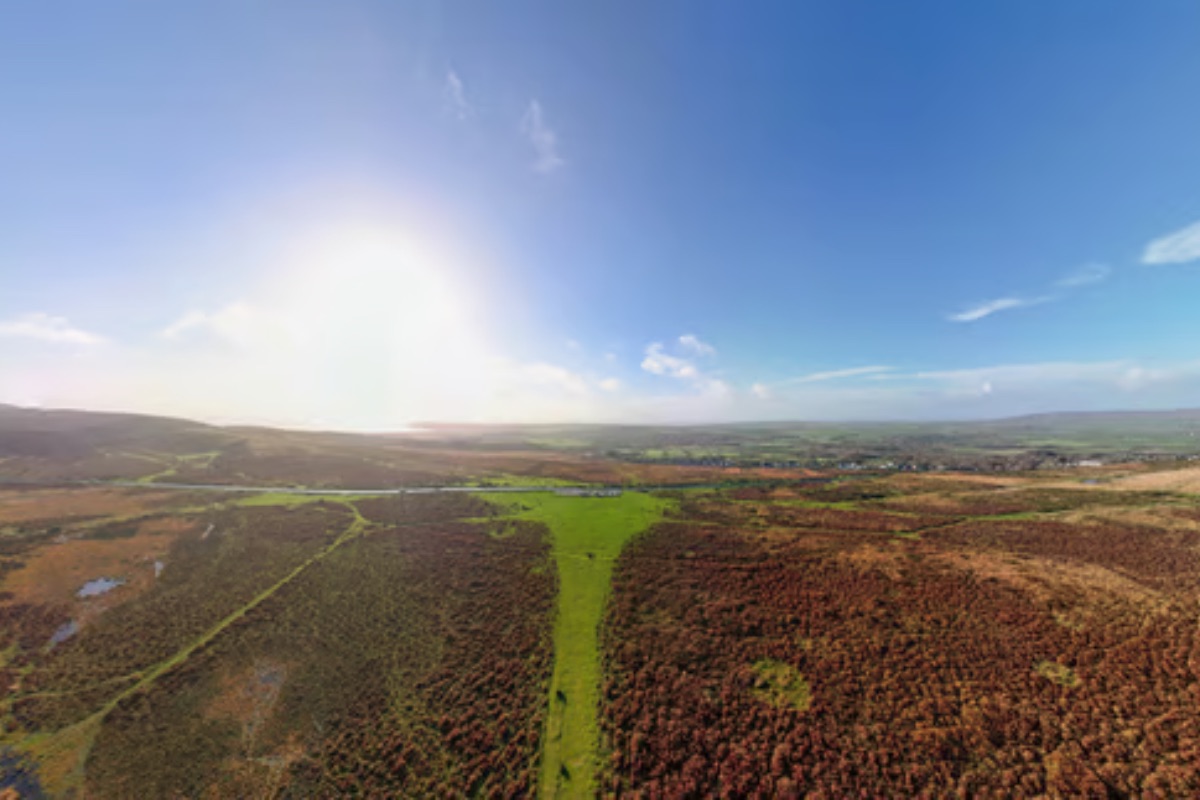
Designated in 1956 as the first area of outstanding natural beauty in England and Wales, the Gower Peninsula is recognised for its coastline, habitats and distinctive cultural landscape.
The Peninsula is home to important habitats, as well as archaeological and historic assets, reflecting human activity from prehistoric times onwards.
Bob Oliver MBE, Chairman of project partner Swansea Airport Stakeholders’ Alliance, said: “Swansea Airport sits at the heart of the Gower community, and we recognise the importance of protecting this extraordinary landscape for future generations.
“We are delighted to work with Cardiff University on an initiative that brings aerospace technology, local knowledge and public service together.
“The airport has the potential to provide a valuable operational base for developing and demonstrating aerial wildfire monitoring technologies.
“By bringing researchers, aviation specialists and emergency responders together, we hope to help build a capability that delivers real benefits for Gower and, ultimately, communities across Wales and beyond.”
The project builds on Cardiff University’s research in aerospace engineering, autonomous systems, artificial intelligence and advanced sensing.
Alongside drones, the team also aims to explore larger aerial platforms, which might provide complementary capabilities in rapid reconnaissance and environmental monitoring to future specialist systems supporting wildfire response.
“The aim is not to replace the expertise of firefighters or emergency responders,” explains Dr Navaratne.
“Instead, we want to provide better information and technological tools for faster, safer and more informed decision-making to help safeguard landscapes, heritage and communities.
“In this way, lessons learned here in Wales could contribute to wildfire resilience elsewhere in the UK and internationally, demonstrating how aerospace research can deliver benefits far beyond aviation.”
Support our Nation today
For the price of a cup of coffee a month you can help us create an independent, not-for-profit, national news service for the people of Wales, by the people of Wales.
Get more trusted Welsh news
Choose Nation.Cymru as a preferred source in Google News to see more of our journalism.