

Teithiau Tom: About a Granite Valley – Nant Gwrtheyrn
Tom Maloney
A recent stay at Nant Gwrtheyrn on the northern, and I may say spectacular, coastline of the Llŷn Peninsula filled my eyes and my thoughts with so much that was new to me and wonderful on so many levels.
What’s in a name? Oh, how I love Welsh places names and this one is outstanding. Nant is a relatively straight forward translation meaning ‘Stream’, but Gwrtheyrn holds the past magnificently within its syllables and … for the meaning within we have to go back in time to the 5th century, just after the age of Roman rule came to an end.
Various sources quoting medieval chronicles state that ‘Gwrtheyrn’ is the Welsh for ‘Vortigern’ King of the Britons, an embattled warlord who sought refuge in the valley after a pact made with the Anglo Saxons went badly for him. Some sources suggest that it could be considered more as a title meaning king or ruler and possibly even ‘tyrant’.
But whether you go with myth, legend or history the link with Welsh heritage is fascinating and so important given that Nant Gwrtheyrn has become a centre for the Welsh language.
Much of the landscape we see today grew with the quarrying of granite and reminders of the past are everywhere to be seen.
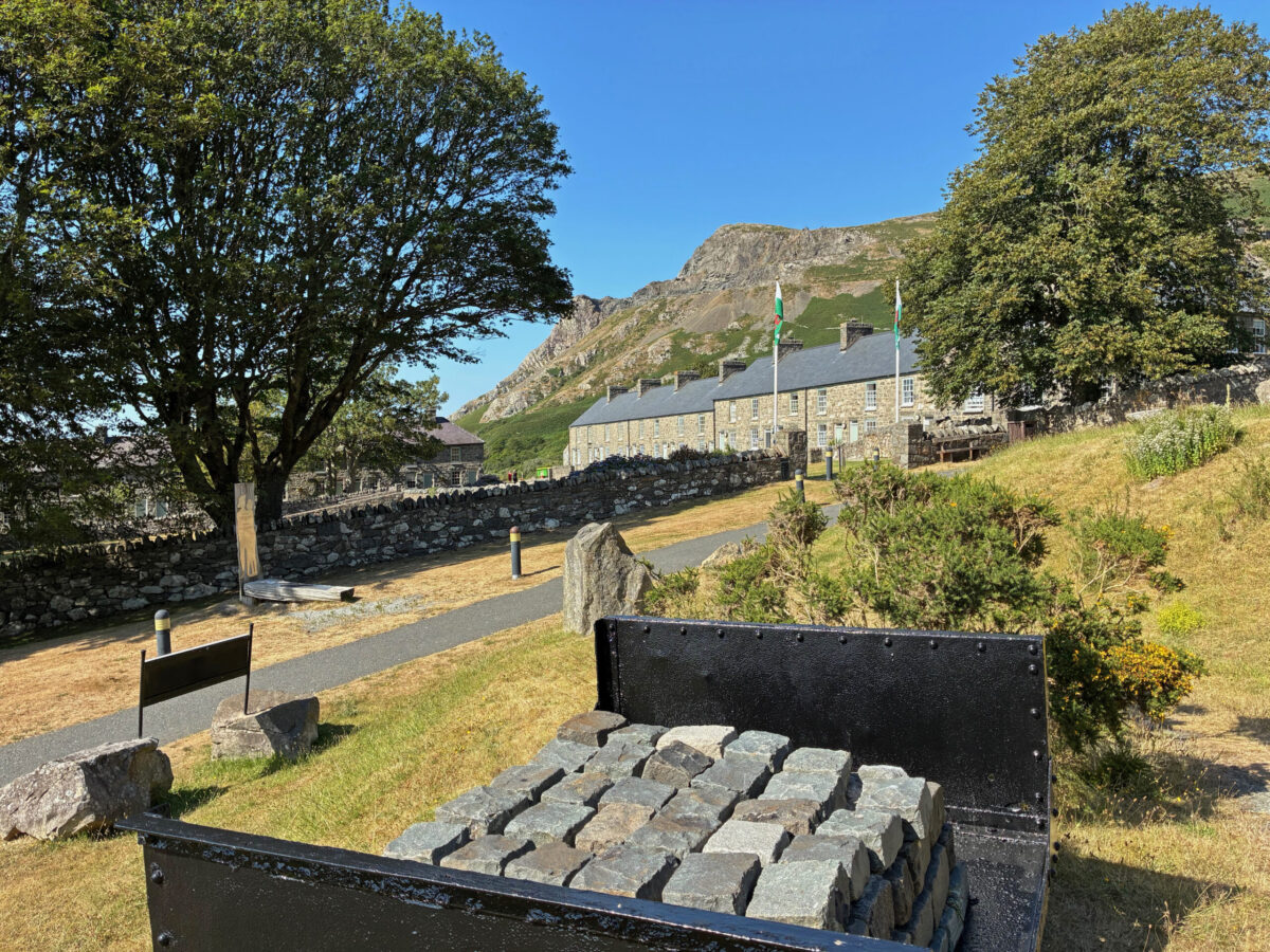
Cwtched into the lower part of the valley, close to the shoreline, is the old village and it is wonderfully picturesque.
Trem y Mynydd (Mountain View) and Trem y Môr (Sea View) are stone built terraced Cottages, that once housed the families of the quarry workers have been sensitively restored to accommodate visitors now, but you could easily imagine how it may have been in days gone by – a community where the doors were always open and the spirit of the people was strong.
Staying almost within touching distance of the beach my mornings were richly rewarded with strolls along the shoreline.
The path leading down to the beach, ‘y traeth’, in the Welsh is like no other that I know, well at least not yet anyway.
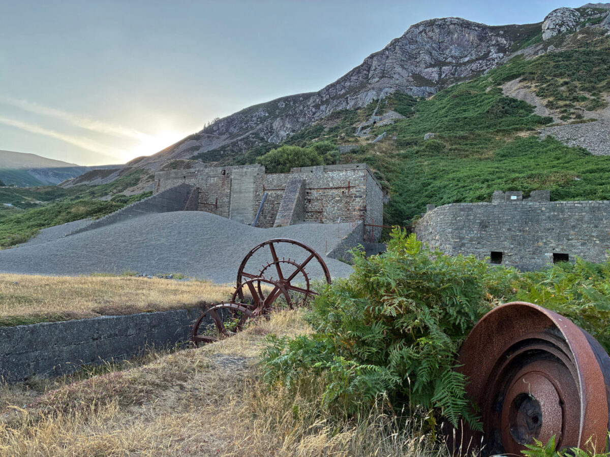
Like islands within the spreading, verdant green bracken, old ruins … relics of the days when granite was quarried at Nant Gwrtheyrn emerge to tell their story. Some are bold, massive, fortress like constructions whilst others are much less visible, their walls depleted of stone.
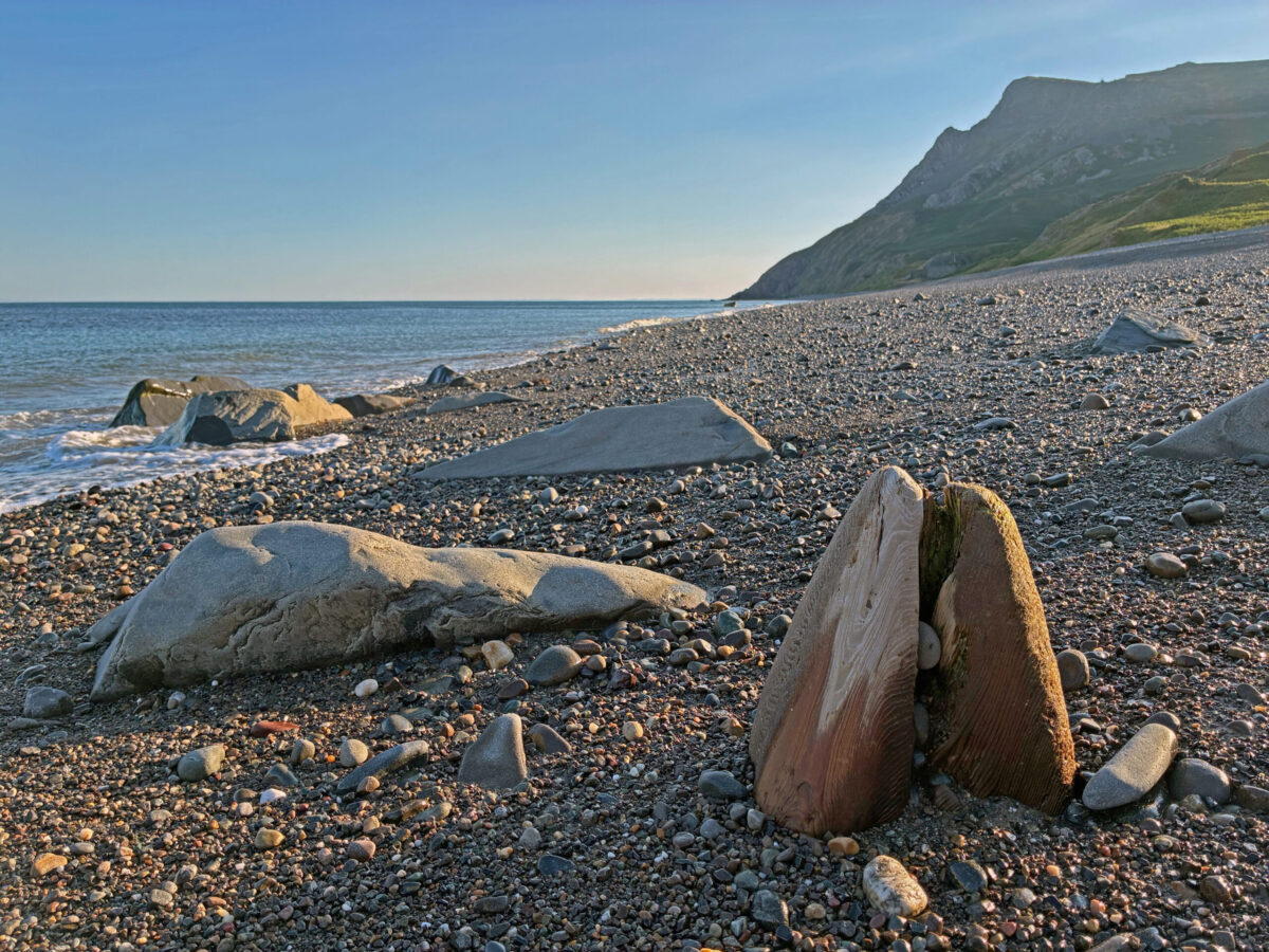
Unsurprisingly, perhaps, the beach is a stony one, where the pebbles roll under each step that you take, wrapping your boots, but if the tide is out the shoreline is firmer near the sea making the walking much easier.
I treasure each and every opportunity to get to the coast. Just to stand facing the horizon and to breathe in the revitalising breeze off the sea fills you with new vitality. There is nothing quite like it for me and to be able to do this every morning was a real treat.
The more that you look, the more that you are rewarded here and … not everything that you see gives it up its story straight away.
If you look carefully amongst the larger boulders at rest, you will see that they are not rocks at all but huge wooden stakes rounded by the action of the sea over many years, perfectly worked sculptures that seem to emerge from a sea of pebbles like whales breaking the surface of the ocean for air.
There is design at work here, for these stakes are the supports of a formidable jetty that once stretched out away from the shallows where the ships came to take their loads of stone away.
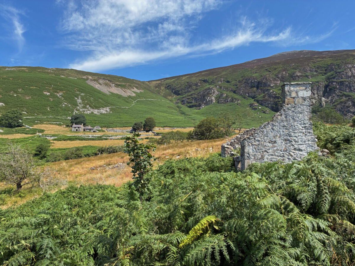
I have learned over the years that you find many stories within a square mile and this is so with Nant Gwrtheyrn as well, it is a rich landscape.
Farming, a story that often goes under the radar has its place too within the valley. Sheep still roam the fields, but the dry-stone walls and empty shells of agricultural dwellings and outbuildings speak to you of a connection with farming that goes back in time well before quarrying began.
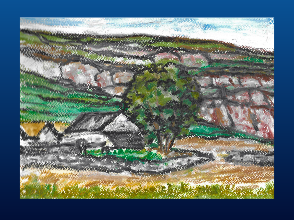
The expressionist paintings of the great Welsh artist Peter Prendergast have been much in my mind of late and I feel sure h would have been at home with the contrasting images of the Nant. Perhaps he may have worked here, I am not sure.
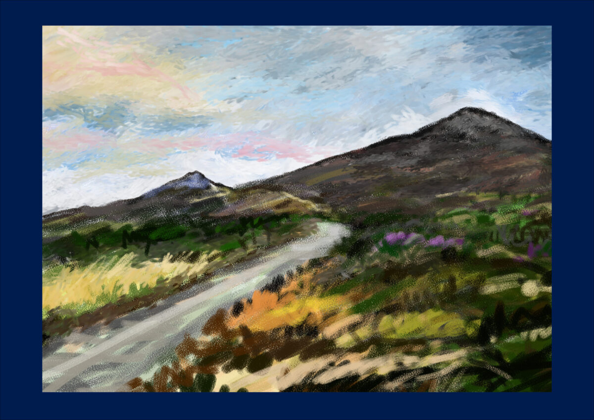
This is a place ideally suited to sketching outdoors and it was lovely to engage with the landscape directly. I took inspiration from Peter Prendergast’s freedom of mark marking using watercolours and oil pastels whilst on my stay. You can learn so much from looking closely at the work of the artists you admire, not least just how great they are.
For me I think the greatness lies in how the artist manages both to put something of their own personality into their pictures alongside a feeling for the subject. Peter Prendergast does that and more.
Rising above the valley is Yr Eifl, which perhaps surprisingly, is made up of three peaks Garn Ganol, Garn Fôr and Tre’r Ceiri. A local that I talked to referred to the peaks as ‘The Eifls’ because there was more than one, but I have to admit I may have misheard and what may have been said was ‘The Rivals’ which is a commonly used anglicised version of the name.
Confused? Well, I have to admit I think I was for a little while.
Most descriptions that I have come across during in my research refer to the Welsh translation of Yr Eifl being best seen as the prongs of a fork and I have to admit this is a very fitting way of looking at this group of hills together.
From the moment that I first them as I approached Nant Gwrtheyrn, I knew that I would have to get to the top of at least one of the peaks. In the end I managed two, starting with Tre’r Ceiri.
Tre’r Ceiri
In his book ‘The Hillforts of Iron Age Wales’ Toby Driver describes Tre’r Ceiri perfectly and it was certainly one of the reasons that motivated my visit as well.
‘Crowning a high, rocky summit at the northern end of the Llŷn Peninsula in Gwynedd is one of the most unusual and special hillforts in the whole of southern Britain.
This was a long-lived stone-walled hillfort dating from Iron Age and Roman times with sporadic occupation likely to have extended into the early Medieval period.
Although proclaimed in books and on visitor signs as ‘The Town of the Giants’ its original name ‘Tre’r Caeri meant ‘Town of Fortresses’.’
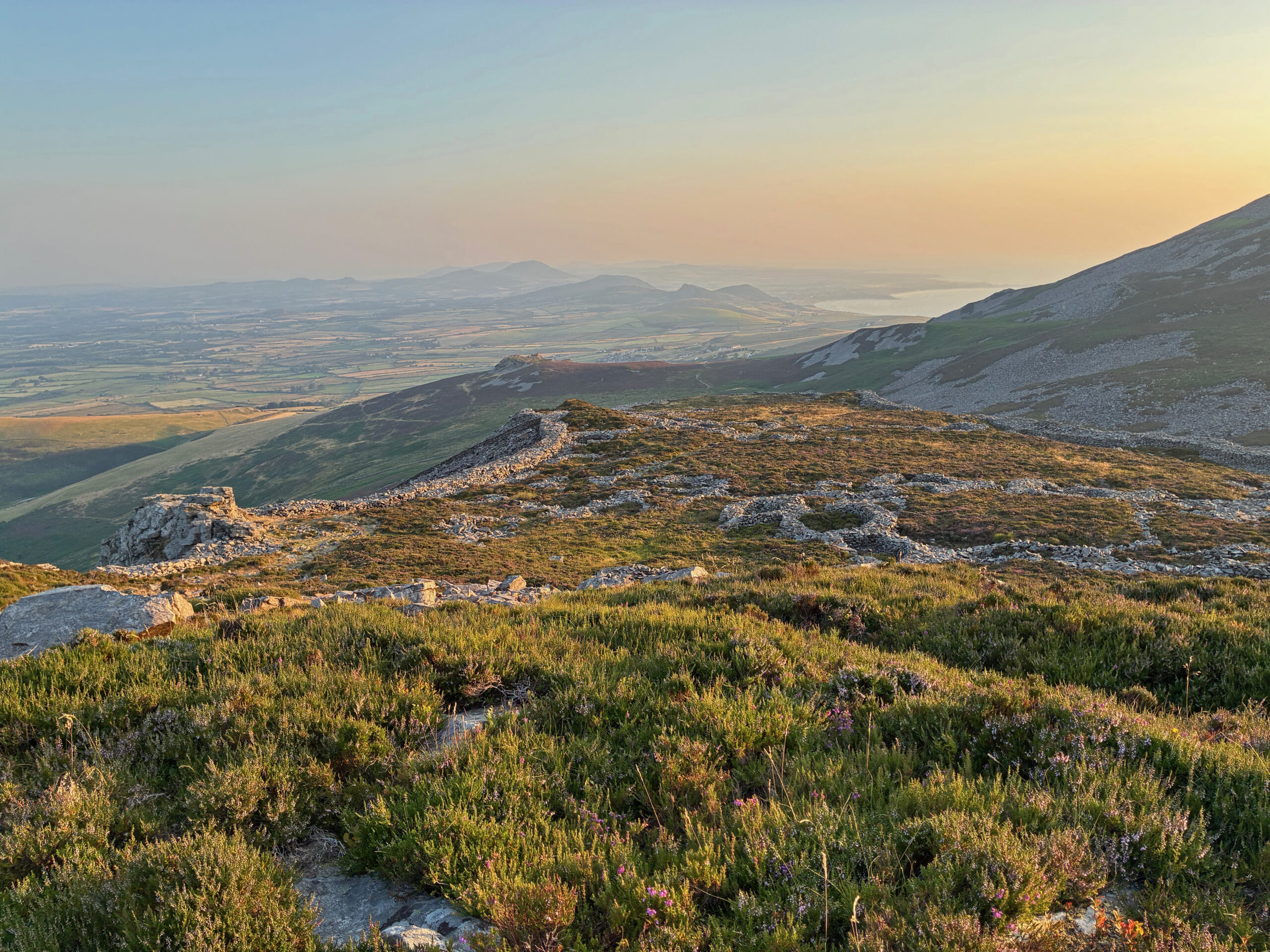
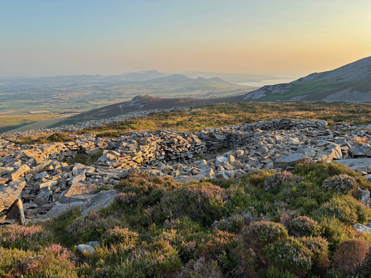
Of all the peaks, this one is least ‘prong’ like and the walled defences of the fort are quite plain to see from some distance. It is an almost abstract landscape in many ways and a grand vista indeed in the golden glow of the setting sun.
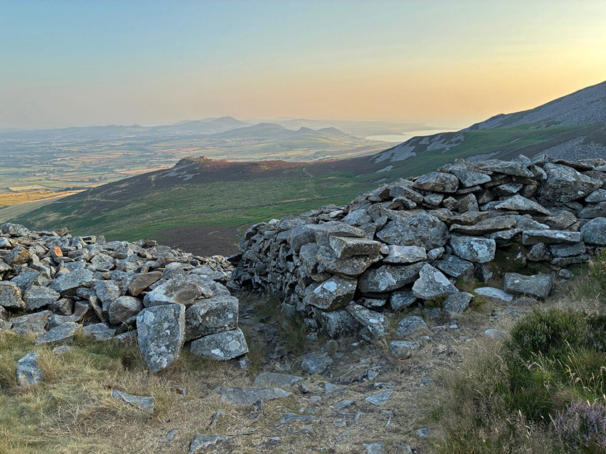
The magic really happens when you get to the fortress itself and step through a passage way of stone … a time portal that certainly took my imagination back to the Iron Age. Though great care should be taken here both for personal safety and to respect the heritage. It is quite a privilege to walk in the footsteps of the ancients and you really feel that here.
Even to an untrained eye, the outlines of the round houses that were packed within its walls is very plain to see. I could sense the babble and chatter of people as they went about their daily business on the hill and sense the trepidation that they may have felt in times when they needed the protection of its boundary.
Garn Ganol
Luckily the weather was glorious over my short stay and I managed to find time to walk to the summit Garn Ganol on my last evening.
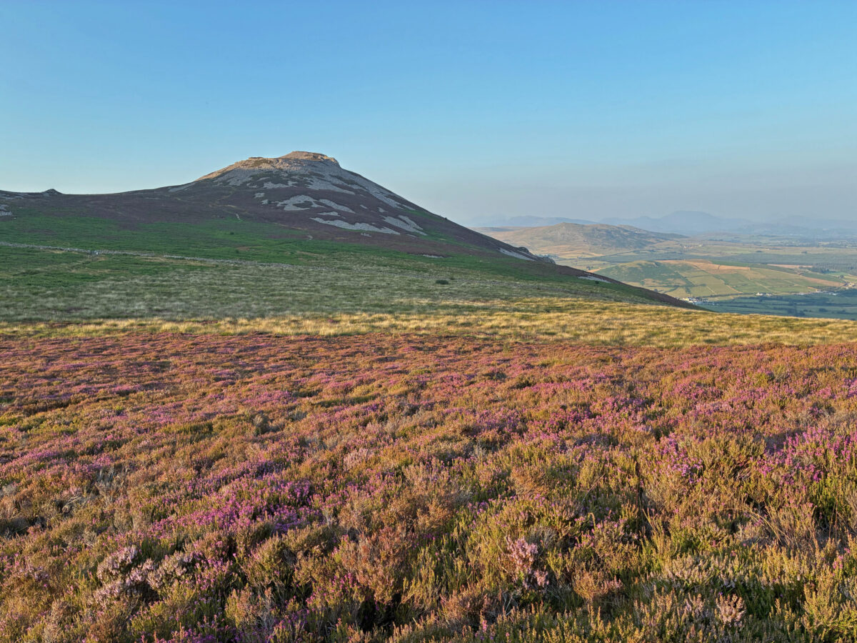
Garn Ganol, or ‘Middle Cairn’ is the highest of the three peaks at 564m and certainly has a prong like profile, especially when seen with Garn Fôr or ‘Cairn by the Sea’.
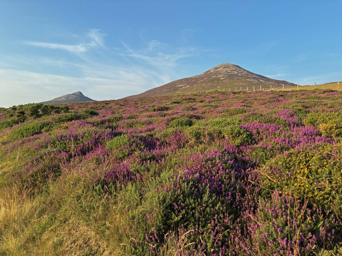
With its craggy top rising above a blanket of purple heather, it is a magnificent sight and a challenge that I could not resist.
As with Tre’r Ceiri you have to take the greatest care as the path narrows and becomes uneven and rocky. These days I always walk with a trusty stick and I this proved to be most useful again.
The trick with a hill like this, well for me anyway, is to stop regularly and take in what you see and be in the moment and there is plenty that does so much good for your soul and wellbeing on offer here.
I have to admit that it is was with a tinge of sadness that I had to leave Nant Gwrtheyrn without walking to the top of Garn Fôr, but as I drove away, I kept the thought in my head that one day I would return. This valley of stone is a special place.
Useful Information
Photographs
All the photographs in this article were taken between the 13th July and the 17th July
Getting to Nant Gwrtheyrn
The A499 will bring you to the B4417. Nant Gwrtheyn is signposted from the Tarfarn y Fic in Llithfaen.
Walking at Nant Gwrtheyrn is wonderful, but great care should be exercised as well. The landscape has many treasure to see, but the paths can be variable and rocky. Whatever the weather always be prepared for the outdoors.
There are excellent visitor facilities at Nant Gwrtheyrn, but be aware the drive down the hill is very steep.
Sources and other information:
Nant Gwrtheyrn
The Joy of Welsh at Nant Gwrtheyrn
Peter Prendergast
https://www.peterprendergast.co.uk/
The Hillforts of Iron Age Wales by Toby Driver
https://logastonpress.co.uk/product/hillforts-of-iron-age-wales-the/
Vortigern The Essay
https://www.bbc.co.uk/sounds/play/b01nb0ct
Vortigern Studies
https://www.vortigernstudies.org.uk/artwho/who.htm
Support our Nation today
For the price of a cup of coffee a month you can help us create an independent, not-for-profit, national news service for the people of Wales, by the people of Wales.
Get more trusted Welsh news
Choose Nation.Cymru as a preferred source in Google News to see more of our journalism.



Nant can also mean valley or Cwm and I suspect in this case that is the meaning – see the GPC. Cognate with Cornish nans. I would be interested if an expert on toponyms would comment on this suggestion.
Diolch yn fawr iawn Evan – I think you are right and Geiriadur Prifysgol Cymru : A Dictionary of the Welsh Language confirms: Cwm, glyn, dyffryn; ceunant, hafn:
valley, glen, dale; ravine, gorge. Every day is a learning day and many thanks again.